2021 Map of Frannie
USGS Topo · Published 2021About this map
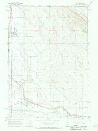
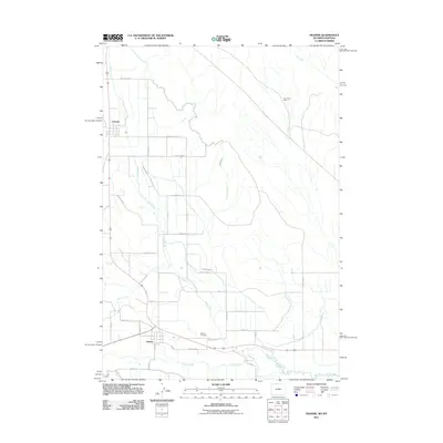
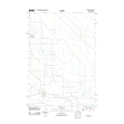
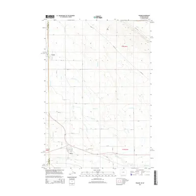
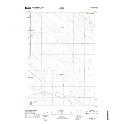
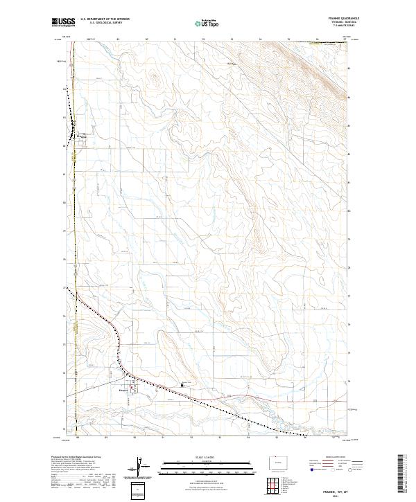
Frannie and Deaver serve as the primary hubs in this northern Wyoming agricultural corridor, situated along the border of Big Horn County and Park County. The landscape is defined by an intricate irrigation system essential for high-plains farming, featuring the Frannie Canal, Deaver Canal, and numerous distribution channels like Lateral D-56. These man-made waterways parallel natural drainages such as Sage Creek and Polecat Creek, illustrating the extensive engineering required to manage water across the arid basins.
Find a feature on this map
42 named features on this map. Tap any name to fly to it.
Don’t see what you’re looking for? This feature index may not catch every label — zoom into the map to look around manually.
Map Details
Editions of this 2021 Frannie Map
This is the sole edition of this map. No revisions or reprints were ever made.
Historical Maps of Deaver Through Time
6 maps found