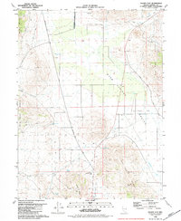
1980 Map of Fraser Flat
USGS Topo · Published 1984About this map
Warm Springs Valley and the expansive Fraser Flat dominate this high-desert landscape in Washoe County, captured during a period of ranching and light resource extraction. The area is defined by its water sources, including Warm Springs, Willow Spring, and Coyote Spring, which supported livestock operations marked by several Corral and Corrals locations. A notable historical waypoint, Junction House, sits at a critical intersection where several paths converge near the southern end of Warm Springs Valley.
Find a feature on this map
35 named features on this map. Tap any name to fly to it.
Don’t see what you’re looking for? This feature index may not catch every label — zoom into the map to look around manually.
Map Details
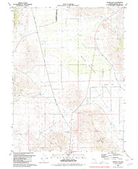
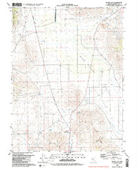
Editions of this 1980 Fraser Flat Map
3 editions found
Other maps of this area

1891 · Reno
USGS Topo · 1:125,000

1893 · Reno
USGS Topo · 1:125,000

1950 · Reno
USGS Topo · 1:62,500

1951 · Reno
USGS Topo · 1:62,500

1957 · Sutcliffe
USGS Topo · 1:62,500

1957 · Dogskin Mountain
USGS Topo · 1:62,500

1957 · Spanish Springs Valley
USGS Topo · 1:62,500

1957 · Reno
USGS Topo · 1:250,000

1959 · Reno
USGS Topo · 1:250,000

1960 · Reno
USGS Topo · 1:250,000