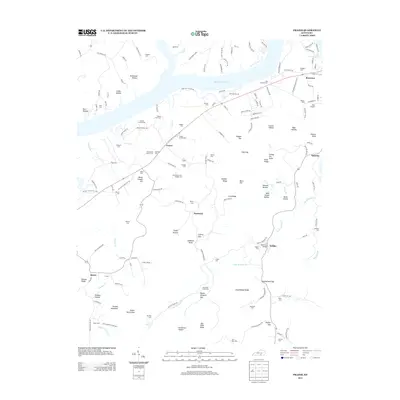
2013 Map of Frazer
USGS Topo · Published 2013About this map
Lake Cumberland dominates the northern landscape of this region, where the winding shoreline meets a complex network of ridges and hollows such as Stillhouse Hollow and Gaiths Hollow. The settlement of Frazer sits at a central crossroads, surrounded by numerous family burial grounds that speak to the deep ancestral roots of Wayne County. Smaller communities like Hardwick, Kidder, and Quinton are connected by a web of local roads, including several segments of Old Highway 90. The terrain is defined by its vertical variety, ranging from the heights of Gobblers Knob and Duncan Mountain to the low drainage of Cedar Sinking Cr. Geographers will note the concentration of named gaps and ridges, such as Sullens Gap and Doc Kidd Ridge, which historically dictated travel and homesteading patterns throughout the area.
Find a feature on this map
165 named features on this map. Tap any name to fly to it.
Don’t see what you’re looking for? This feature index may not catch every label — zoom into the map to look around manually.
Map Details
Editions of this 2013 Frazer Map
This is the sole edition of this map. No revisions or reprints were ever made.
Other maps of this area

1911 · Monticello
USGS Topo · 1:62,500

1914 · Monticello
USGS Topo · 1:62,500

1932 · Burnside
USGS Topo · 1:62,500

1935 · Somerset
USGS Topo · 1:62,500

1953 · Frazer
USGS Topo · 1:24,000

1953 · Monticello
USGS Topo · 1:24,000

1953 · Mill Springs
USGS Topo · 1:24,000

1954 · Coopersville
USGS Topo · 1:24,000

1954 · Burnside
USGS Topo · 1:24,000

1954 · Delmer
USGS Topo · 1:24,000