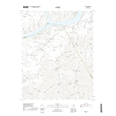
2019 Map of Frazer
USGS Topo · Published 2019About this map
Lake Cumberland dominates the northern reaches of this region, where the Pulaski and Wayne county lines meet amidst a landscape defined by deep hollows and high ridges. The community of Burnside sits near the confluence of the lake's northern arms, while Frazer and Bronston serve as centers for the local rural population. This area is rich in sites of genealogical and cultural significance, including the Chief Doublehead's Grave near Doublehead Gap and dozens of family-named burial grounds like Stiggall Cem and Barker Family Cem. The terrain's complexity is revealed in the names of its numerous natural features, from the Fishing Creek Shoals to the narrow passage at Peach Orchard Gap. Transport and local commerce are represented by the Boss Airport and the J S Hardwick Bridge, which crosses Cedar Sinking Creek near the settlement of Kidder.
Find a feature on this map
157 named features on this map. Tap any name to fly to it.
Don’t see what you’re looking for? This feature index may not catch every label — zoom into the map to look around manually.
Map Details
Editions of this 2019 Frazer Map
This is the sole edition of this map. No revisions or reprints were ever made.
Other maps of this area

1911 · Monticello
USGS Topo · 1:62,500

1914 · Monticello
USGS Topo · 1:62,500

1932 · Burnside
USGS Topo · 1:62,500

1935 · Somerset
USGS Topo · 1:62,500

1953 · Frazer
USGS Topo · 1:24,000

1953 · Monticello
USGS Topo · 1:24,000

1953 · Mill Springs
USGS Topo · 1:24,000

1954 · Coopersville
USGS Topo · 1:24,000

1954 · Burnside
USGS Topo · 1:24,000

1954 · Delmer
USGS Topo · 1:24,000