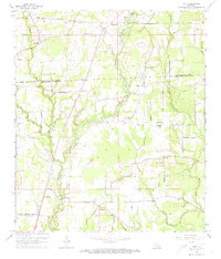
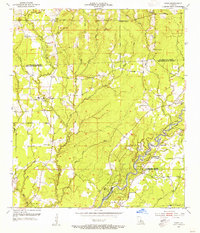
1963 Map of Fred
USGS Topo · Published 1973About this map
The Comite River meanders south through this rural landscape along the border of East Feliciana and East Baton Rouge parishes, defining the geography of small agricultural communities in the mid-1960s. The settlement of Slaughter occupies the northwest, while smaller hamlets like Fred, Milldale, and Deerford are scattered across a network of country roads including Lemon Road and Port Hudson-Pride Road. This survey provides a significant record for genealogists, as it identifies numerous family and community landmarks such as Overton Cem, Douglass Cem, and Strangers Home Cem. The social fabric of the era is evident in the high density of rural houses of worship, ranging from New Philadelphia Ch and Philadelphia Ch in the north to Galilee Ch and Cypress Grove Ch further south. Education in the eastern section centers on the Chaneyville Sch, located near several tributaries like Sandy Creek and Schley Creek.
Find a feature on this map
57 named features on this map. Tap any name to fly to it.
Don’t see what you’re looking for? This feature index may not catch every label — zoom into the map to look around manually.
Map Details
Editions of this 1963 Fred Map
3 editions found
Other maps of this area

1906 · Bayou Sara
USGS Topo · 1:125,000

1939 · Zachary
USGS Topo · 1:62,500

1942 · Pride
USGS Topo · 1:31,680

1942 · Watson
USGS Topo · 1:31,680

1945 · Jackson
USGS Topo · 1:31,680

1946 · Clinton
USGS Topo · 1:31,680

1949 · Bluff Creek
USGS Topo · 1:31,680

1953 · Comite
USGS Topo · 1:24,000
1954 · Watson
USGS Topo · 1:24,000
1954 · Pride
USGS Topo · 1:24,000