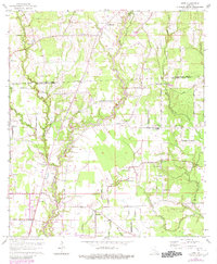
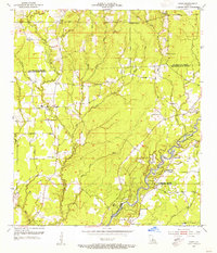
1963 Map of Fred
USGS Topo · Published 1980About this map
Slaughter and the surrounding rural communities of East Feliciana and East Baton Rouge Parishes are captured here during a period of evolving land use in the early 1960s. The landscape is defined by the winding course of the Comite River and its numerous tributaries, including Redwood Creek and Sandy Creek. The map documents a dense network of local landmarks essential to parish genealogy, such as Chaneyville Sch and numerous country churches including Mount Pleasant Ch and Pine Grove Ch.
Find a feature on this map
54 named features on this map. Tap any name to fly to it.
Don’t see what you’re looking for? This feature index may not catch every label — zoom into the map to look around manually.
Map Details
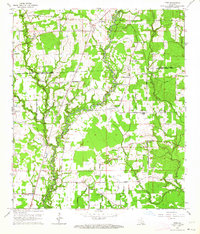
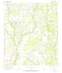
Editions of this 1963 Fred Map
3 editions found
Other maps of this area

1906 · Bayou Sara
USGS Topo · 1:125,000

1939 · Zachary
USGS Topo · 1:62,500

1942 · Pride
USGS Topo · 1:31,680

1942 · Watson
USGS Topo · 1:31,680

1945 · Jackson
USGS Topo · 1:31,680

1946 · Clinton
USGS Topo · 1:31,680

1949 · Bluff Creek
USGS Topo · 1:31,680

1953 · Comite
USGS Topo · 1:24,000
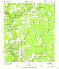
1954 · Watson
USGS Topo · 1:24,000
1954 · Pride
USGS Topo · 1:24,000