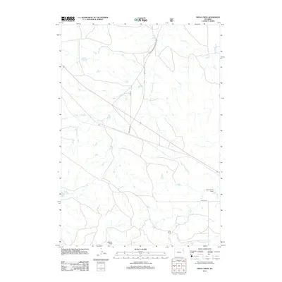
2012 Map of Freda Creek
USGS Topo · Published 2012About this map
Kara sits near the crossing of local routes and seasonal drainages in this pocket of Crook County, Wyoming. The landscape is defined by its water-carved features and livestock history, centered on points like the Clyde Ranch and the vital Willow Tree Springs. A complex network of creek beds and draws, including Freda Cr, Wind Cr, and Government Draw, dictates the flow of travel and land use. Rural roads such as Wind Creek Rd and the Wind River-Grasshopper Butte Rd provide the primary infrastructure for this ranching territory. The presence of Madren Draw and the distinct forks of Wind Creek highlight a geography where access to water sources has traditionally determined the placement of settlements and seasonal camps.
Find a feature on this map
13 named features on this map. Tap any name to fly to it.
Don’t see what you’re looking for? This feature index may not catch every label — zoom into the map to look around manually.
Map Details
Editions of this 2012 Freda Creek Map
This is the sole edition of this map. No revisions or reprints were ever made.
Other maps of this area

1918 · Moorcroft
USGS Topo · 1:125,000

1918 · Moorcroft
USGS Topo · 1:62,500

1954 · Gillette
USGS Topo · 1:250,000

1955 · Gillette
USGS Topo · 1:250,000

1957 · Nefsy Divide
USGS Topo · 1:62,500

1957 · Moorcroft
USGS Topo · 1:62,500

1957 · Upton
USGS Topo · 1:62,500

1958 · Gillette
USGS Topo · 1:250,000

1962 · Gillette
USGS Topo · 1:250,000

1979 · Sundance
USGS Topo · 1:100,000