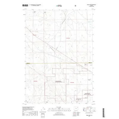
2017 Map of Freda Creek
USGS Topo · Published 2017About this map
Thunder Basin National Grassland dominates the southern half of this landscape on the border of Crook and Weston counties. The terrain is defined by a dense network of intermittent drainages, where seasonal water flows through features like Nefsy Draw, Robinson Draw, and Government Draw. These draws feed into several creek branches, including Freda Creek and the multiple forks of Wind Creek. Local water sources such as Willow Tree Springs provide critical points of interest in this high plains environment.
Find a feature on this map
22 named features on this map. Tap any name to fly to it.
Don’t see what you’re looking for? This feature index may not catch every label — zoom into the map to look around manually.
Map Details
Editions of this 2017 Freda Creek Map
This is the sole edition of this map. No revisions or reprints were ever made.
Other maps of this area

1918 · Moorcroft
USGS Topo · 1:125,000

1918 · Moorcroft
USGS Topo · 1:62,500

1954 · Gillette
USGS Topo · 1:250,000

1955 · Gillette
USGS Topo · 1:250,000

1957 · Nefsy Divide
USGS Topo · 1:62,500

1957 · Moorcroft
USGS Topo · 1:62,500

1957 · Upton
USGS Topo · 1:62,500

1958 · Gillette
USGS Topo · 1:250,000

1962 · Gillette
USGS Topo · 1:250,000

1979 · Sundance
USGS Topo · 1:100,000