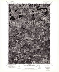
1974 Map of Frederic NW
USGS Topo · Published 1976About this map
A dense pattern of woodlots, wetlands, and small glacial lakes defines this rural landscape in Northwest Wisconsin during the mid-1970s. The settlement of Lewis sits as the primary community node, situated along a prominent transportation corridor that cuts diagonally across the terrain. This orthophotoquad reveals the intricate boundary between agricultural fields and the heavy timber and marshlands characteristic of this region. Unlike traditional topographic maps, this imagery provides a direct look at the 1974 ground cover, showing the exact configuration of farmsteads and the fine-grained texture of the northern forests just as they appeared before modern development altered these rural patterns.
Find a feature on this map
1 named feature on this map. Tap any name to fly to it.
Don’t see what you’re looking for? This feature index may not catch every label — zoom into the map to look around manually.
Map Details
Editions of this 1974 Frederic NW Map
This is the sole edition of this map. No revisions or reprints were ever made.
Other maps of this area

1950 · Webster
USGS Topo · 1:48,000

1950 · Grantsburg
USGS Topo · 1:48,000

1951 · Milltown
USGS Topo · 1:48,000

1951 · Frederic
USGS Topo · 1:48,000

1953 · Stillwater
USGS Topo · 1:250,000

1955 · Webster
USGS Topo · 1:62,500

1955 · Frederic
USGS Topo · 1:62,500

1955 · Milltown
USGS Topo · 1:62,500

1955 · Stillwater
USGS Topo · 1:250,000

1958 · Stillwater
USGS Topo · 1:250,000