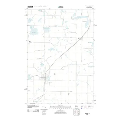
2010 Map of Frederic
USGS Topo · Published 2010About this map
The village of Frederic serves as the focal point of this Northwest Wisconsin landscape, where the Gandy Dancer Trl cuts a diagonal path through the glacial terrain. This recreational corridor follows a historic rail alignment, connecting the main settlement with the community of Lewis to the northeast. The area is defined by a dense concentration of kettle lakes and waterways, including Coon Lake, Diamond Lake, and the winding Wood River, which drains much of the central quadrangle.
Find a feature on this map
65 named features on this map. Tap any name to fly to it.
Don’t see what you’re looking for? This feature index may not catch every label — zoom into the map to look around manually.
Map Details
Editions of this 2010 Frederic Map
This is the sole edition of this map. No revisions or reprints were ever made.
Other maps of this area

1950 · Webster
USGS Topo · 1:48,000

1950 · Grantsburg
USGS Topo · 1:48,000

1951 · Milltown
USGS Topo · 1:48,000

1951 · Frederic
USGS Topo · 1:48,000

1953 · Stillwater
USGS Topo · 1:250,000

1955 · Webster
USGS Topo · 1:62,500

1955 · Frederic
USGS Topo · 1:62,500

1955 · Milltown
USGS Topo · 1:62,500

1955 · Stillwater
USGS Topo · 1:250,000

1958 · Stillwater
USGS Topo · 1:250,000