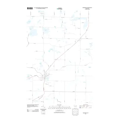
2013 Map of Frederic
USGS Topo · Published 2013About this map
Coon Lake serves as the central focal point for the settlement of Frederic, where the intersection of State Road 48 and Highway 35 anchors the local grid. This 2013 survey illustrates a landscape defined by its glacial heritage, characterized by a high density of kettle lakes and meandering waterways. To the north, Dunham Lake and Little Dunham Lake sit near the edge of the quadrangle, while the Wood River winds through the central and eastern sections, connecting smaller bodies of water like Fern Lake and Black Lake. The map details a transition from the structured residential streets of the village to a sprawling rural network of numbered avenues and family-named roads like Bernie Rd and Carlson Rd. To the south, the Trade River crosses the landscape near the Ice Age National Scenic Trail, marking a region where natural conservation and local transit routes coexist.
Find a feature on this map
71 named features on this map. Tap any name to fly to it.
Don’t see what you’re looking for? This feature index may not catch every label — zoom into the map to look around manually.
Map Details
Editions of this 2013 Frederic Map
This is the sole edition of this map. No revisions or reprints were ever made.
Other maps of this area

1950 · Webster
USGS Topo · 1:48,000

1950 · Grantsburg
USGS Topo · 1:48,000

1951 · Milltown
USGS Topo · 1:48,000

1951 · Frederic
USGS Topo · 1:48,000

1953 · Stillwater
USGS Topo · 1:250,000

1955 · Webster
USGS Topo · 1:62,500

1955 · Frederic
USGS Topo · 1:62,500

1955 · Milltown
USGS Topo · 1:62,500

1955 · Stillwater
USGS Topo · 1:250,000

1958 · Stillwater
USGS Topo · 1:250,000