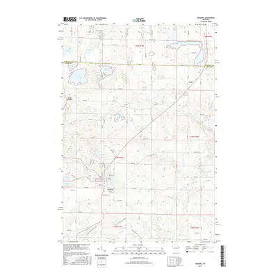
2015 Map of Frederic
USGS Topo · Published 2015About this map
The settlement of Frederic serves as a primary hub for this portion of Polk County, situated where local roads like Old 35 and Industrial Way intersect. The landscape is characterized by an exceptionally high density of glacial kettle lakes, including Dunham Lake, Coon Lake, and Diamond Lake, which define the region's topography and drainage patterns. To the south, the Ice Age National Scenic Trail winds through the terrain, crossing the Trade River as it follows the terminal moraine of the last glaciation.
Find a feature on this map
83 named features on this map. Tap any name to fly to it.
Don’t see what you’re looking for? This feature index may not catch every label — zoom into the map to look around manually.
Map Details
Editions of this 2015 Frederic Map
This is the sole edition of this map. No revisions or reprints were ever made.
Other maps of this area

1950 · Webster
USGS Topo · 1:48,000

1950 · Grantsburg
USGS Topo · 1:48,000

1951 · Milltown
USGS Topo · 1:48,000

1951 · Frederic
USGS Topo · 1:48,000

1953 · Stillwater
USGS Topo · 1:250,000

1955 · Webster
USGS Topo · 1:62,500

1955 · Frederic
USGS Topo · 1:62,500

1955 · Milltown
USGS Topo · 1:62,500

1955 · Stillwater
USGS Topo · 1:250,000

1958 · Stillwater
USGS Topo · 1:250,000