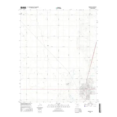
2016 Map of Frederick
USGS Topo · Published 2016About this map
The Oklahoma plains of Tillman County are defined here by a rigorous section-line road grid and the consolidated growth of Frederick, the county seat. This 2016 survey shows the town's modern footprint, characterized by a detailed street plan including Mary Ave and E Highview Ave, while preserving the locations of essential civic landmarks like Frederick Cem. Outside the city limits, the landscape remains primarily agricultural, punctuated by small water bodies such as Barnard Lake, Burts Lake, and Murray Lake. The surrounding township is anchored by the small community of Burt and historical burial sites like Manitou Cem and Tipton Cem, which serve as vital markers for local genealogists. Drainage in this part of the state is managed by natural features such as Suttle Cr and Little Deep Red Cr, which wind through the otherwise geometric network of county roads like N2200 Rd.
Find a feature on this map
84 named features on this map. Tap any name to fly to it.
Don’t see what you’re looking for? This feature index may not catch every label — zoom into the map to look around manually.
Map Details
Editions of this 2016 Frederick Map
This is the sole edition of this map. No revisions or reprints were ever made.
Other maps of this area

1950 · Snyder
USGS Topo · 1:62,500

1955 · Lawton
USGS Topo · 1:250,000

1956 · Manitou
USGS Topo · 1:24,000

1956 · Snyder
USGS Topo · 1:62,500

1958 · Frederick
USGS Topo · 1:62,500

1964 · Tipton SE
USGS Topo · 1:24,000

1964 · Tipton
USGS Topo · 1:24,000

1974 · Hollister NW
USGS Topo · 1:24,000

1974 · Hackberry Flat
USGS Topo · 1:24,000

1975 · Frederick NE
USGS Topo · 1:24,000