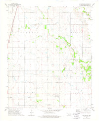
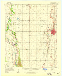
1974 Map of Hollister NW
USGS Topo · Published 1977About this map
St Louis-San Francisco tracks run along the western edge of this 1970s Tillman County landscape, serving a rural expanse defined by major agricultural operations and watercourses. The drainage patterns of Deadman Creek, Deep Red Creek, and Little Deep Red Creek dictate the terrain, carving through the township boundaries of Maguire, Holton, Hazel, and Haskell.
Find a feature on this map
14 named features on this map. Tap any name to fly to it.
Don’t see what you’re looking for? This feature index may not catch every label — zoom into the map to look around manually.
Map Details
Editions of this 1974 Hollister NW Map
This is the sole edition of this map. No revisions or reprints were ever made.
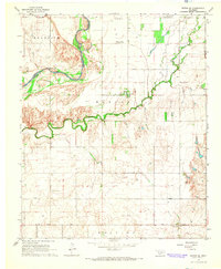
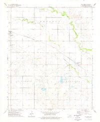
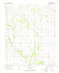
Other maps of this area

1950 · Snyder
USGS Topo · 1:62,500

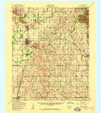
1955 · Lawton
USGS Topo · 1:250,000
1956 · Manitou
USGS Topo · 1:24,000
1956 · Indiahoma
USGS Topo · 1:24,000
1956 · Snyder
USGS Topo · 1:62,500
1958 · Frederick
USGS Topo · 1:62,500
1964 · Tipton SE
USGS Topo · 1:24,000

1974 · Hackberry Flat
USGS Topo · 1:24,000
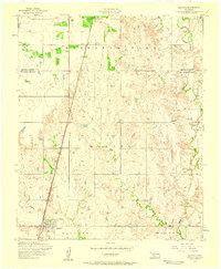
1974 · Hollister
USGS Topo · 1:24,000
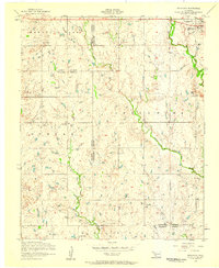
1974 · Hollister NE
USGS Topo · 1:24,000