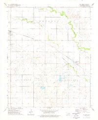
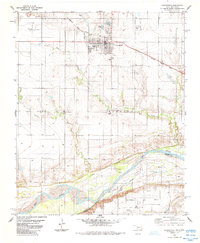
1974 Map of Hollister
USGS Topo · Published 1977About this map
Hollister and Loveland anchor this agricultural landscape in Tillman County, where the plains are etched by the meandering courses of Deep Red Creek and Little Deep Red Creek. The layout of the region is defined by the diagonal transit of the Missouri-Kansas-Texas railroad, which historically linked these prairie communities. This 1970s survey captures a transition in land use, showing several Fish Farm operations and Gravel Pits interspersed with traditional cattle and farming boundaries.
Find a feature on this map
15 named features on this map. Tap any name to fly to it.
Don’t see what you’re looking for? This feature index may not catch every label — zoom into the map to look around manually.
Map Details
Editions of this 1974 Hollister Map
This is the sole edition of this map. No revisions or reprints were ever made.
Other maps of this area

1955 · Lawton
USGS Topo · 1:250,000

1957 · Burkburnett
USGS Topo · 1:62,500

1958 · Electra
USGS Topo · 1:62,500

1962 · Chattanooga
USGS Topo · 1:62,500

1974 · Hollister NW
USGS Topo · 1:24,000

1974 · Hackberry Flat
USGS Topo · 1:24,000
1974 · Hollister NE
USGS Topo · 1:24,000
1984 · Cowboy Springs
USGS Topo · 1:24,000
1985 · Augur Creek
USGS Topo · 1:24,000
1985 · Grandfield
USGS Topo · 1:24,000