
1974 Map of Hackberry Flat
USGS Topo · Published 1977About this map
Hackberry Flat occupies the center of this 1970s landscape in Tillman County, where the agricultural and industrial character of the region is clearly visible. The survey documents the infrastructure supporting the local economy, including the Frederick Municipal Airport and a section of the Missouri-Kansas-Texas railroad cutting through the northern sections. Evidence of extraction is found in an expansive Oil Field and scattered Oil Wells, alongside a Gravel Pit near the northern boundary.
Find a feature on this map
14 named features on this map. Tap any name to fly to it.
Don’t see what you’re looking for? This feature index may not catch every label — zoom into the map to look around manually.
Map Details
Editions of this 1974 Hackberry Flat Map
This is the sole edition of this map. No revisions or reprints were ever made.
Other maps of this area

1955 · Lawton
USGS Topo · 1:250,000

1958 · Davidson
USGS Topo · 1:62,500

1958 · Frederick
USGS Topo · 1:62,500

1958 · Electra
USGS Topo · 1:62,500

1974 · Hollister NW
USGS Topo · 1:24,000
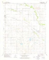
1974 · Hollister
USGS Topo · 1:24,000
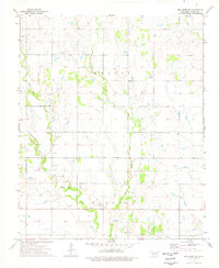
1974 · Hollister NE
USGS Topo · 1:24,000

1975 · Frederick NE
USGS Topo · 1:24,000

1975 · Frederick SE
USGS Topo · 1:24,000
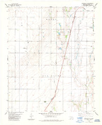
1984 · Frederick SE
USGS Topo · 1:24,000