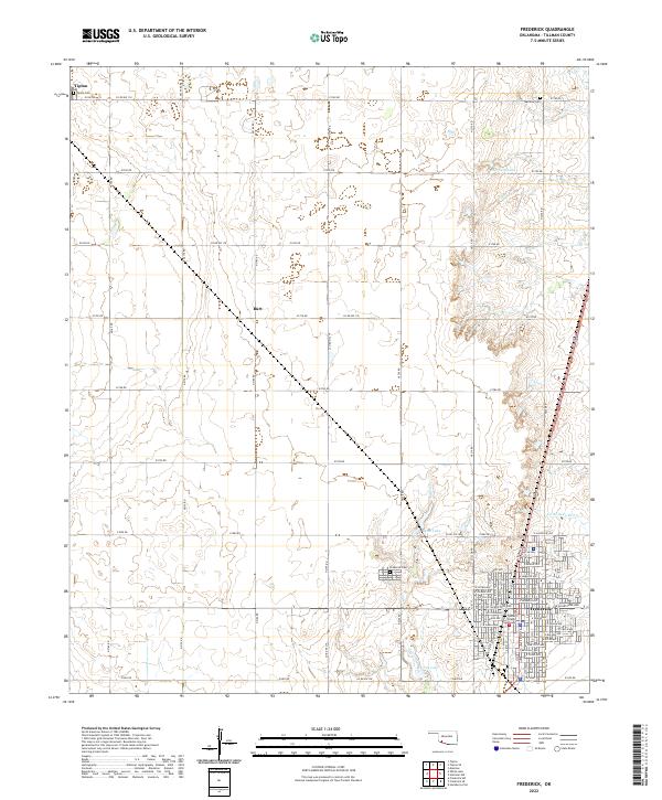
2022 Map of Frederick
USGS Topo · Published 2022About this map
Frederick serves as the regional hub for this Tillman County landscape, where the Tillman County Courthouse remains a central landmark of the local government. The settlement pattern follows a grid of section-line roads, revealing the agricultural character of the plains. Small water bodies like Barnard Lake and Burts Lake are scattered across the terrain, while the course of Suttle Creek and Little Deep Red Creek provide intermittent drainage through the fields. In the northern reaches, the community of Tipton and the small settlement of Burt anchor the rural landscape.
Find a feature on this map
51 named features on this map. Tap any name to fly to it.
Don’t see what you’re looking for? This feature index may not catch every label — zoom into the map to look around manually.
Map Details
Editions of this 2022 Frederick Map
This is the sole edition of this map. No revisions or reprints were ever made.
Other maps of this area

1950 · Snyder
USGS Topo · 1:62,500

1955 · Lawton
USGS Topo · 1:250,000

1956 · Manitou
USGS Topo · 1:24,000

1956 · Snyder
USGS Topo · 1:62,500

1958 · Frederick
USGS Topo · 1:62,500

1964 · Tipton SE
USGS Topo · 1:24,000

1964 · Tipton
USGS Topo · 1:24,000

1974 · Hollister NW
USGS Topo · 1:24,000

1974 · Hackberry Flat
USGS Topo · 1:24,000

1975 · Frederick NE
USGS Topo · 1:24,000