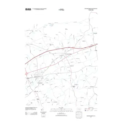
2013 Map of Fredericksburg
USGS Topo · Published 2013About this map
Fredericksburg and Jonestown serve as the primary hubs in this part of Lebanon County, where the landscape is defined by the winding course of Little Swatara Cr and its many tributaries. The area maintains a strong agricultural and small-aviation character, evidenced by the Dutch Country Egg Farms Airport and Farmers Pride Airport. These local airstrips, along with Horst Airport, highlight a unique transportation network nestled between the southern slopes of Little Mountain and the residential rises of Mount Ararat.
Find a feature on this map
183 named features on this map. Tap any name to fly to it.
Don’t see what you’re looking for? This feature index may not catch every label — zoom into the map to look around manually.
Map Details
Editions of this 2013 Fredericksburg Map
This is the sole edition of this map. No revisions or reprints were ever made.
Other maps of this area

1891 · Lebanon
USGS Topo · 1:62,500

1892 · Lykens
USGS Topo · 1:62,500

1892 · Hummelstown
USGS Topo · 1:62,500

1892 · Pine Grove
USGS Topo · 1:62,500

1893 · Lykens
USGS Topo · 1:62,500

1893 · Lebanon
USGS Topo · 1:62,500

1899 · Lebanon
USGS Topo · 1:62,500

1924 · Hummelstown
USGS Topo · 1:62,500

1943 · Lebanon
USGS Topo · 1:62,500

1943 · Lykens
USGS Topo · 1:62,500
Featured Places
- Bethel Township, PA
- Jonestown, PA
- North Annville Township, PA
- Swatara Township, PA
- Hamlin, Bethel Township