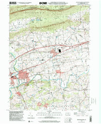
1999 Map of Fredericksburg
USGS Topo · Published 2001About this map
Swatara Creek and its tributary Little Swatara Creek define the low-lying agricultural valley of northern Lebanon County, Pennsylvania. This landscape is a patchwork of small crossroads communities and family-named landmarks, where long-standing educational and religious institutions such as Groff Sch, Wengert Sch, and Our Lady of Fatima Chapel anchor the local community. The northern boundary is dominated by the steep ridge of Blue Mountain, carrying the Appalachian Trail through State Game Lands No 80. This high ground separates the valley from the rugged terrain to the north, while the presence of recreational retreats like Camp Strause and Camp Carson suggests a history of seasonal residence. The modern infrastructure of the William Penn Highway and Farmers Pride Airport near Fredericksburg contrasts with the older settlement patterns found at Jonestown and Meckville.
Find a feature on this map
57 named features on this map. Tap any name to fly to it.
Don’t see what you’re looking for? This feature index may not catch every label — zoom into the map to look around manually.
Map Details
Editions of this 1999 Fredericksburg Map
This is the sole edition of this map. No revisions or reprints were ever made.
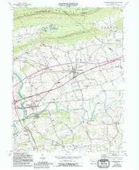
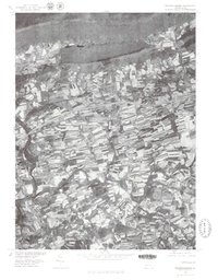
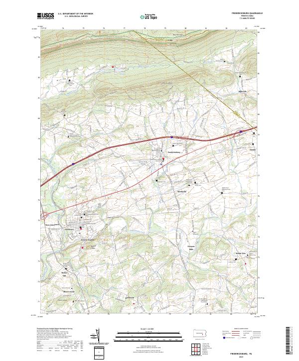
Historical Maps of Bethel Township Through Time
4 maps found
Featured Locations
- Jonestown, PA
- Swatara Township, PA
- Union Township, PA
- Bethel Township, PA
- Fredericksburg, Bethel Township