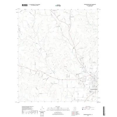
2019 Map of Fredericksburg West
USGS Topo · Published 2019About this map
Fredericksburg anchor's the southeastern corner of this Gillespie County landscape, where the town's street grid meets the winding drainage of Barons Cr. The terrain is defined by a series of prominent elevations, including Schlaudt Hills, Hotopp Hills, and Schneider Hill, which rise above the many tributaries feeding into the larger creek systems. Water is a constant theme across the quadrangle, with numerous small waterways like Honey Cr, Moccasin Cr, and Palo Alto Cr carving the Hill Country surface.
Find a feature on this map
103 named features on this map. Tap any name to fly to it.
Don’t see what you’re looking for? This feature index may not catch every label — zoom into the map to look around manually.
Map Details
Editions of this 2019 Fredericksburg West Map
This is the sole edition of this map. No revisions or reprints were ever made.
Other maps of this area

1894 · Fredericksburg
USGS Topo · 1:125,000

1894 · Kerrville
USGS Topo · 1:125,000

1954 · Llano
USGS Topo · 1:250,000

1955 · Llano
USGS Topo · 1:250,000

1956 · Llano
USGS Topo · 1:250,000

1963 · Cain City
USGS Topo · 1:24,000

1964 · Oak Crest Park
USGS Topo · 1:24,000

1964 · Morris Ranch
USGS Topo · 1:24,000
1967 · Cherry Mountain
USGS Topo · 1:24,000

1967 · Fredericksburg East
USGS Topo · 1:24,000