
1964 Map of Oak Crest Park
USGS Topo · Published 1966About this map
The Pedernales River meanders across this landscape of the Texas Hill Country during the mid-1960s, revealing a rural economy rooted in ranching and early aviation. The presence of the County Airfield and its associated Beacon north of Oak Creek reflects the region's mid-century infrastructure, while the Wieder Community House serves as a social anchor for the surrounding residents.
Find a feature on this map
29 named features on this map. Tap any name to fly to it.
Don’t see what you’re looking for? This feature index may not catch every label — zoom into the map to look around manually.
Map Details
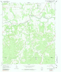
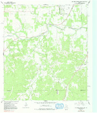
Editions of this 1964 Oak Crest Park Map
3 editions found
Other maps of this area

1894 · Fredericksburg
USGS Topo · 1:125,000

1894 · Kerrville
USGS Topo · 1:125,000

1954 · Llano
USGS Topo · 1:250,000

1955 · Llano
USGS Topo · 1:250,000

1956 · Llano
USGS Topo · 1:250,000

1963 · Cain City
USGS Topo · 1:24,000

1964 · Morris Ranch
USGS Topo · 1:24,000

1964 · Rafter Hollow
USGS Topo · 1:24,000
1964 · Cypress Creek
USGS Topo · 1:24,000
1964 · Legion
USGS Topo · 1:24,000