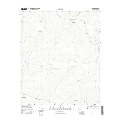
2014 Map of Fredonia
USGS Topo · Published 2014About this map
Wards Mill and Fredonia anchor the rural landscape of eastern Chambers County on this 2014 survey. The area is defined by a dense network of winding creeks, including Oseligee Cr, Wells Cr, and Hurdley Cr, which feed into local bodies of water like Thompson Lake and Hills Lake. The road system is largely comprised of county routes, such as CR-222, which connect smaller settlements like Denson to the larger hub of La Fayette in the southwest corner. For genealogists, the map is particularly useful for its documentation of numerous family and church burial sites, ranging from the Swint Hammack Cem in the north to the Wright Family Cem and Providence Cem further south. The presence of Emory Chapel Cem and Holstun Cem near the center of the map highlights the longstanding community ties throughout these Alabama hills.
Find a feature on this map
64 named features on this map. Tap any name to fly to it.
Don’t see what you’re looking for? This feature index may not catch every label — zoom into the map to look around manually.
Map Details
Editions of this 2014 Fredonia Map
This is the sole edition of this map. No revisions or reprints were ever made.
Other maps of this area

1899 · Wedowee
USGS Topo · 1:125,000

1902 · Wedowee
USGS Topo · 1:125,000

1907 · Opelika
USGS Topo · 1:125,000

1909 · Opelika
USGS Topo · 1:125,000

1953 · Atlanta
USGS Topo · 1:250,000

1955 · Phenix City
USGS Topo · 1:250,000

1957 · Phenix City
USGS Topo · 1:250,000

1957 · Atlanta
USGS Topo · 1:250,000

1958 · Phenix City
USGS Topo · 1:250,000

1958 · Atlanta
USGS Topo · 1:250,000