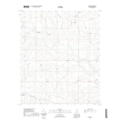
2020 Map of Fredonia
USGS Topo · Published 2020About this map
The settlement of Fredonia and the eastern outskirts of La Fayette anchor this modern topographical survey of Chambers County, Alabama. The landscape is defined by a dense network of creek systems, including Oseligee Cr, Wells Cr, and Barrow Cr, which carve through the terrain between small rural communities like Denson. For genealogists, the map is particularly valuable for its precise locations of several family and community burial grounds, such as the Swint-Hammack Cem, Wright Family Cem, and Providence Cem. The survey illustrates the persistence of early road networks, like the Five Points Fredonia Rd, alongside modern infrastructure like the Veterans Memorial Pkwy. Local industrial history is preserved through labels for Wards Mill and Waterworks Cr, reflecting the long-standing relationship between the county's water resources and its development.
Find a feature on this map
59 named features on this map. Tap any name to fly to it.
Don’t see what you’re looking for? This feature index may not catch every label — zoom into the map to look around manually.
Map Details
Editions of this 2020 Fredonia Map
This is the sole edition of this map. No revisions or reprints were ever made.
Other maps of this area

1899 · Wedowee
USGS Topo · 1:125,000

1902 · Wedowee
USGS Topo · 1:125,000

1907 · Opelika
USGS Topo · 1:125,000

1909 · Opelika
USGS Topo · 1:125,000

1953 · Atlanta
USGS Topo · 1:250,000

1955 · Phenix City
USGS Topo · 1:250,000

1957 · Phenix City
USGS Topo · 1:250,000

1957 · Atlanta
USGS Topo · 1:250,000

1958 · Phenix City
USGS Topo · 1:250,000

1958 · Atlanta
USGS Topo · 1:250,000