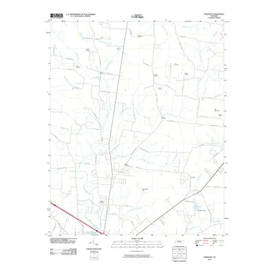
2010 Map of Fredonia
USGS Topo · Published 2010About this map
The Duck River meanders through this landscape south of Manchester, Tennessee, defining a region where family-named cemeteries and rural crossroads maintain the area's local heritage. The settlement of Wayside sits near the eastern edge, while the broad Greenbrier Flat and Flat Mountain provide topographic contrast to the river bottomlands. Numerous family burial grounds, including the Ogles, Robinson, and Carden, are scattered across the quadrangle, often situated near historic road junctions like Goose Pond Rd and Old Woodbury Hwy.
Find a feature on this map
76 named features on this map. Tap any name to fly to it.
Don’t see what you’re looking for? This feature index may not catch every label — zoom into the map to look around manually.
Map Details
Editions of this 2010 Fredonia Map
This is the sole edition of this map. No revisions or reprints were ever made.
Other maps of this area

1893 · Mc Minnville
USGS Topo · 1:125,000

1895 · Mc Minnville
USGS Topo · 1:125,000

1895 · Sewanee
USGS Topo · 1:125,000

1913 · Hollow Springs
USGS Topo · 1:62,500

1936 · Ovoca
USGS Topo · 1:24,000

1936 · Fredonia
USGS Topo · 1:24,000

1936 · Manchester
USGS Topo · 1:24,000

1936 · Beech Grove
USGS Topo · 1:24,000

1936 · Petty Gap
USGS Topo · 1:24,000

1936 · Noah
USGS Topo · 1:24,000