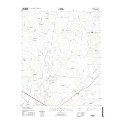
2016 Map of Fredonia
USGS Topo · Published 2016About this map
Duck River drainage and the Tennessee Valley Divide define this portion of Coffee County, where local industry and agriculture meet along the high ground. The landscape is dotted with family burial grounds and small community hubs, including New Union and Fredonia. Historical infrastructure is evident at Strauss Mill on the western edge, while the southeast is marked by the Louisville and Nashville RR corridor passing through Forest Mill. Residential and agricultural roads often bear the names of early local families, as seen with Ogles Cemetery Rd and Johnnie Jarrell Rd. These features, alongside landmarks like Roseanne Airport and numerous small water bodies such as Rigney Lake and Morton Lake, reflect the area's established rural character and the enduring presence of long-standing family settlements.
Find a feature on this map
138 named features on this map. Tap any name to fly to it.
Don’t see what you’re looking for? This feature index may not catch every label — zoom into the map to look around manually.
Map Details
Editions of this 2016 Fredonia Map
This is the sole edition of this map. No revisions or reprints were ever made.
Other maps of this area

1893 · Mc Minnville
USGS Topo · 1:125,000

1895 · Mc Minnville
USGS Topo · 1:125,000

1895 · Sewanee
USGS Topo · 1:125,000

1913 · Hollow Springs
USGS Topo · 1:62,500

1936 · Ovoca
USGS Topo · 1:24,000

1936 · Fredonia
USGS Topo · 1:24,000

1936 · Manchester
USGS Topo · 1:24,000

1936 · Beech Grove
USGS Topo · 1:24,000

1936 · Petty Gap
USGS Topo · 1:24,000

1936 · Noah
USGS Topo · 1:24,000