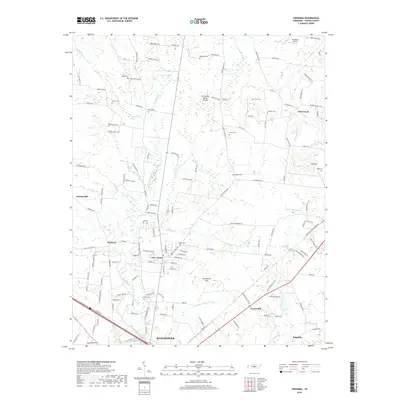
2019 Map of Fredonia
USGS Topo · Published 2019About this map
Manchester and its northern surroundings are defined by the Tennessee Valley Divide, where the waters of the Duck River system begin their westward journey. This 2019 survey captures a landscape of established rural communities such as Fredonia, New Union, and Forest Mill. The infrastructure of the Louisville and Nashville RR cuts diagonally through the southeastern quadrant, past the waters of Lake Womack and Taylor Br.
Find a feature on this map
150 named features on this map. Tap any name to fly to it.
Don’t see what you’re looking for? This feature index may not catch every label — zoom into the map to look around manually.
Map Details
Editions of this 2019 Fredonia Map
This is the sole edition of this map. No revisions or reprints were ever made.
Other maps of this area

1893 · Mc Minnville
USGS Topo · 1:125,000

1895 · Mc Minnville
USGS Topo · 1:125,000

1895 · Sewanee
USGS Topo · 1:125,000

1913 · Hollow Springs
USGS Topo · 1:62,500

1936 · Ovoca
USGS Topo · 1:24,000

1936 · Fredonia
USGS Topo · 1:24,000

1936 · Manchester
USGS Topo · 1:24,000

1936 · Beech Grove
USGS Topo · 1:24,000

1936 · Petty Gap
USGS Topo · 1:24,000

1936 · Noah
USGS Topo · 1:24,000