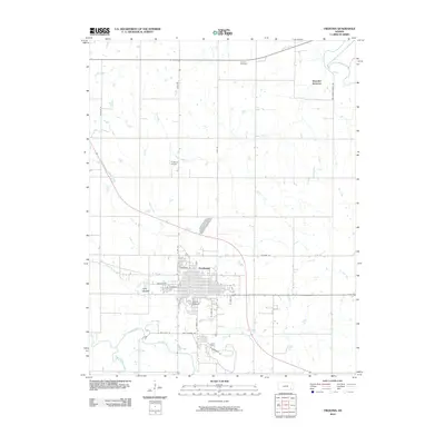
2010 Map of Fredonia
USGS Topo · Published 2010About this map
Fredonia serves as the central hub of this 2010 survey, situated near the confluence of several vital watercourses including the Fall River and Salt Creek. The town's grid is bounded by prominent topographical features like West Mound and South Mound, which provide distinctive landmarks in the otherwise flat river valley. To the north, the Fredonia Airport and Summit Cemetery mark the transition toward more rural landscapes, while Benedict Junction sits near the northeastern bend of the Verdigris River. The map documents a transportation network including Mill Dam Rd and S Cement Rd, pointing toward the area's local infrastructure and industrial history. The presence of Plum Branch Fall River and several smaller tributaries like Sutton Branch highlight the complex drainage system that has historically shaped the settlement patterns and agricultural development of this Wilson County region.
Find a feature on this map
29 named features on this map. Tap any name to fly to it.
Don’t see what you’re looking for? This feature index may not catch every label — zoom into the map to look around manually.
Map Details
Editions of this 2010 Fredonia Map
This is the sole edition of this map. No revisions or reprints were ever made.
Other maps of this area

1886 · Fredonia
USGS Topo · 1:125,000

1886 · Independence
USGS Topo · 1:125,000

1894 · Fredonia
USGS Topo · 1:125,000

1894 · Independence
USGS Topo · 1:125,000

1905 · Independence
USGS Topo · 1:125,000

1938 · Fredonia
USGS Topo · 1:62,500

1938 · Altoona
USGS Topo · 1:62,500

1939 · Altoona
USGS Topo · 1:48,000

1939 · Fredonia
USGS Topo · 1:48,000

1942 · Fredonia
USGS Topo · 1:62,500