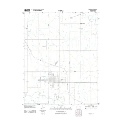
2012 Map of Fredonia
USGS Topo · Published 2012About this map
West Mound and South Mound provide a distinct vertical presence over the town of Fredonia, a community defined by its proximity to the winding waters of the Fall River and Salt Cr. This 2012 survey shows the modern layout of the town, including the centrally located Po and the Wilson County Fairgrounds on the western edge of the settlement. The landscape north of town is a complex network of tributaries, where Sutton Br and Snake Cr feed into the Verdigris River near Benedict Junction.
Find a feature on this map
47 named features on this map. Tap any name to fly to it.
Don’t see what you’re looking for? This feature index may not catch every label — zoom into the map to look around manually.
Map Details
Editions of this 2012 Fredonia Map
This is the sole edition of this map. No revisions or reprints were ever made.
Other maps of this area

1886 · Fredonia
USGS Topo · 1:125,000

1886 · Independence
USGS Topo · 1:125,000

1894 · Fredonia
USGS Topo · 1:125,000

1894 · Independence
USGS Topo · 1:125,000

1905 · Independence
USGS Topo · 1:125,000

1938 · Fredonia
USGS Topo · 1:62,500

1938 · Altoona
USGS Topo · 1:62,500

1939 · Altoona
USGS Topo · 1:48,000

1939 · Fredonia
USGS Topo · 1:48,000

1942 · Fredonia
USGS Topo · 1:62,500