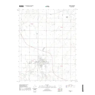
2018 Map of Fredonia
USGS Topo · Published 2018About this map
Fredonia serves as the focal point of this Southeast Kansas landscape, situated near the confluence of several significant waterways. The town layout is clearly defined by a grid of streets including Washington St, Adams St, and Jefferson St. The surrounding terrain is marked by distinctive elevations such as West Mound and South Mound, which rise above the floodplains of Salt Cr and the Fall River. To the northeast, the Verdigris River cuts through the corner of the quadrangle near Benedict Junction, while smaller tributaries like Snake Cr and Rock Cr drain the rural sections. This area reflects a long-established agricultural and transportation network, evidenced by the proximity of the Fredonia Airport and the historic Summit Cem north of town. The map provides a detailed view of the section lines and rural road systems that define Wilson County's land management.
Find a feature on this map
71 named features on this map. Tap any name to fly to it.
Don’t see what you’re looking for? This feature index may not catch every label — zoom into the map to look around manually.
Map Details
Editions of this 2018 Fredonia Map
This is the sole edition of this map. No revisions or reprints were ever made.
Other maps of this area

1886 · Fredonia
USGS Topo · 1:125,000

1886 · Independence
USGS Topo · 1:125,000

1894 · Fredonia
USGS Topo · 1:125,000

1894 · Independence
USGS Topo · 1:125,000

1905 · Independence
USGS Topo · 1:125,000

1938 · Fredonia
USGS Topo · 1:62,500

1938 · Altoona
USGS Topo · 1:62,500

1939 · Altoona
USGS Topo · 1:48,000

1939 · Fredonia
USGS Topo · 1:48,000

1942 · Fredonia
USGS Topo · 1:62,500