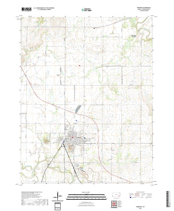
2022 Map of Fredonia
USGS Topo · Published 2022About this map
Fredonia serves as the focal point of this Wilson County landscape, where the Wilson County Courthouse stands at the heart of a detailed street grid. The settlement pattern is defined by its proximity to significant watercourses, with the Verdigris River cutting through the northeast corner and the Fall River winding along the southern edge. The town's surroundings are marked by notable elevations such as West Mound and South Mound, which provide a distinct topographical contrast to the flatter river valleys.
Find a feature on this map
109 named features on this map. Tap any name to fly to it.
Don’t see what you’re looking for? This feature index may not catch every label — zoom into the map to look around manually.
Map Details
Editions of this 2022 Fredonia Map
This is the sole edition of this map. No revisions or reprints were ever made.
Other maps of this area

1886 · Fredonia
USGS Topo · 1:125,000

1886 · Independence
USGS Topo · 1:125,000

1894 · Fredonia
USGS Topo · 1:125,000

1894 · Independence
USGS Topo · 1:125,000

1905 · Independence
USGS Topo · 1:125,000

1938 · Fredonia
USGS Topo · 1:62,500

1938 · Altoona
USGS Topo · 1:62,500

1939 · Altoona
USGS Topo · 1:48,000

1939 · Fredonia
USGS Topo · 1:48,000

1942 · Fredonia
USGS Topo · 1:62,500