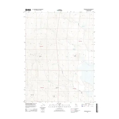
2015 Map of Fredonyer Peak
USGS Topo · Published 2015About this map
Fredonyer Peak dominates the western topography of this Lassen County region, where the high-altitude landscape is defined by its complex drainage systems and volcanic-associated peaks. This 2015 survey reveals a terrain heavily managed for water resources, featuring a series of catchments including Branham Reservoir, Fredonyer Reservoir, and Craemer Reservoir. The seasonal and perennial hydrology of the area is further marked by features like Craemer Springs and Cottonwood Spring, which feed into the smaller drainages of Shoals Cr and Middle Cr. In the southeast, the open expanse of Horse Lake contrasts with the prominent rise of Horse Lake Mtn. This map provides a detailed view of the remote corridors through Long Canyon and Hagata Canyon, accessed by the primitive routes of Hansen Rd and Woodbranch Rd.
Find a feature on this map
21 named features on this map. Tap any name to fly to it.
Don’t see what you’re looking for? This feature index may not catch every label — zoom into the map to look around manually.
Map Details
Editions of this 2015 Fredonyer Peak Map
This is the sole edition of this map. No revisions or reprints were ever made.
Other maps of this area

1886 · Honey Lake
USGS Topo · 1:250,000

1891 · Honey Lake
USGS Topo · 1:250,000

1893 · Honey Lake
USGS Topo · 1:250,000

1954 · Karlo
USGS Topo · 1:62,500

1954 · Grasshopper Valley
USGS Topo · 1:62,500

1954 · Ravendale
USGS Topo · 1:62,500

1954 · Fredonyer Peak
USGS Topo · 1:62,500

1955 · Westwood
USGS Topo · 1:250,000

1958 · Westwood
USGS Topo · 1:250,000

1959 · Westwood
USGS Topo · 1:250,000