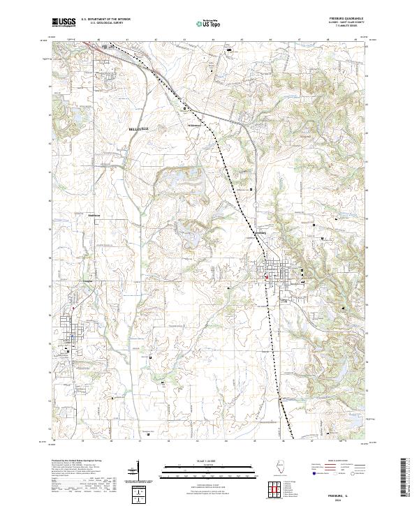
2024 Map of Freeburg
USGS Topo · Published 2024About this map
Richland Creek and its many tributaries, including Sugar Creek and Douglas Creek, define the rolling landscape of central St. Clair County. This contemporary survey captures the intricate network of family and community history preserved in the region's numerous burial grounds, such as Reinheimer Cem, Thompson Cem, and the Saint John the Baptist Catholic Cem near Smithton. The map documents the spatial relationship between established population centers like Freeburg and Belleville and smaller named locales such as Wilderman and Douglas. Landforms like Turkey Hill and Belcher Ridge stand out against a modern road network that includes Freeburg Ave and Westhaven School Rd, providing a clear record of how 21st-century residential developments like Edgewood Acres integrate with the area's agricultural and hydrological roots.
Find a feature on this map
131 named features on this map. Tap any name to fly to it.
Don’t see what you’re looking for? This feature index may not catch every label — zoom into the map to look around manually.
Map Details
Editions of this 2024 Freeburg Map
This is the sole edition of this map. No revisions or reprints were ever made.
Other maps of this area

1888 · St. Louis
USGS Topo · 1:62,500

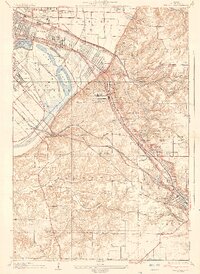
1907 · Belleville
USGS Topo · 1:62,500

1910 · Waterloo
USGS Topo · 1:62,500

1912 · New Athens
USGS Topo · 1:62,500

1913 · Waterloo
USGS Topo · 1:62,500

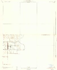
1931 · French Village
USGS Topo · 1:24,000
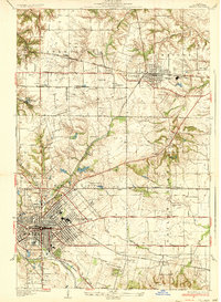
1935 · Lebanon
USGS Topo · 1:24,000
1935 · French Village
USGS Topo · 1:24,000
1937 · O'Fallon
USGS Topo · 1:24,000

1949 · Saint Louis
USGS Topo · 1:250,000