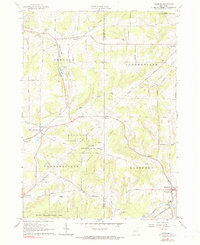
1963 Map of Freedom
USGS Topo · Published 1990About this map
Freedom and the neighboring rural townships of Centerville, Farmersville, and Rushford define this upland landscape along the border of Cattaraugus and Allegany counties. The 1963 field check records a predominantly agricultural community where the Baltimore And Ohio railroad (now marked as an Old R.R. Grade in some stretches) once influenced the development of small hubs like Farmersville Station. Significant water features such as Crystal Lake, Burleson Pond, and Moores Pond are prominent in the northern half of the quadrangle, while the southern reaches are dominated by the State Reforestation Area and the high point of Bush Hill. Local history is preserved in the location of the Salem Ch, the Old Burying Grounds near Caneadea Creek, and the Scouthaven Camp near the Freedom town line.
Find a feature on this map
49 named features on this map. Tap any name to fly to it.
Don’t see what you’re looking for? This feature index may not catch every label — zoom into the map to look around manually.
Map Details
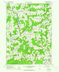
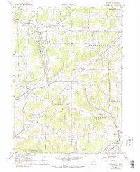
Editions of this 1963 Freedom Map
3 editions found
Other maps of this area

1905 · Portage
USGS Topo · 1:62,500

1906 · Angelica
USGS Topo · 1:62,500

1923 · Arcade
USGS Topo · 1:62,500

1924 · Franklinville
USGS Topo · 1:62,500

1925 · Arcade
USGS Topo · 1:62,500

1941 · Angelica
USGS Topo · 1:62,500

1942 · Franklinville
USGS Topo · 1:62,500

1943 · Pike
USGS Topo · 1:24,000

1944 · Pike
USGS Topo · 1:31,680

1960 · Buffalo
USGS Topo · 1:250,000