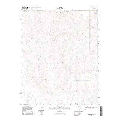
2016 Map of Freedom NE
USGS Topo · Published 2016About this map
Red Fork Cr and Yellowstone Cr carve through this landscape along the state line between Kansas and Oklahoma. The map focuses on a network of drainage basins including Anderson Cr and Houston Cr, revealing a terrain defined by deep erosional patterns and high ridges. The May Ranch Airport in the northeast corner serves as a rare point of modern infrastructure in a largely rural expanse dedicated to ranching and land management.
Find a feature on this map
24 named features on this map. Tap any name to fly to it.
Don’t see what you’re looking for? This feature index may not catch every label — zoom into the map to look around manually.
Map Details
Editions of this 2016 Freedom NE Map
This is the sole edition of this map. No revisions or reprints were ever made.
Other maps of this area

1891 · Medicine Lodge
USGS Topo · 1:125,000

1892 · Coldwater
USGS Topo · 1:125,000

1893 · Medicine Lodge
USGS Topo · 1:125,000

1955 · Woodward
USGS Topo · 1:250,000

1955 · Pratt
USGS Topo · 1:250,000

1958 · Woodward
USGS Topo · 1:250,000

1959 · Pratt
USGS Topo · 1:250,000

1969 · Tegarden NW
USGS Topo · 1:24,000

1969 · Tegarden
USGS Topo · 1:24,000

1970 · Freedom NE
USGS Topo · 1:24,000