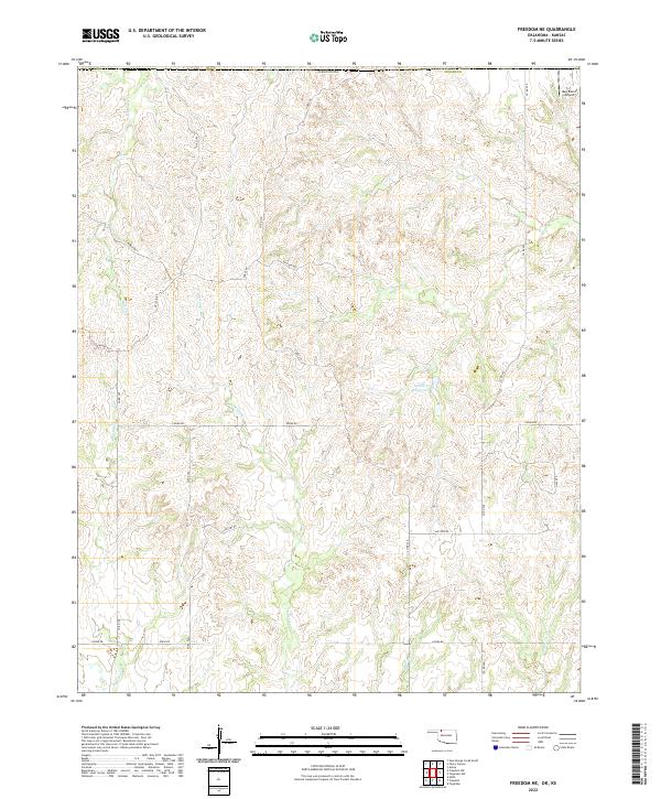
2022 Map of Freedom NE
USGS Topo · Published 2022About this map
Red Fork Cr and its various tributaries define the drainage patterns of this corner of Woods County as it appeared in the early 21st century. The landscape is characterized by a sparse network of section-line roads, such as Logan Rd and Mcclain Rd, which navigate the elevation changes between creek beds. In the northeast corner, the May Ranch Airport serves as a lone private landing strip, highlighting the specialized transportation needs of this cattle-ranching region near the Kansas border. Water management is evident in the central portion of the quadrangle with Lenhart Reservoir, while natural drainages like Yellowstone Cr and Anderson Cr cut through the terrain. The arrangement of these roads and water features reflects the enduring township and range surveying system that continues to dictate property boundaries and access in this rural part of the state.
Find a feature on this map
29 named features on this map. Tap any name to fly to it.
Don’t see what you’re looking for? This feature index may not catch every label — zoom into the map to look around manually.
Map Details
Editions of this 2022 Freedom NE Map
This is the sole edition of this map. No revisions or reprints were ever made.
Other maps of this area

1891 · Medicine Lodge
USGS Topo · 1:125,000

1892 · Coldwater
USGS Topo · 1:125,000

1893 · Medicine Lodge
USGS Topo · 1:125,000

1955 · Woodward
USGS Topo · 1:250,000

1955 · Pratt
USGS Topo · 1:250,000

1958 · Woodward
USGS Topo · 1:250,000

1959 · Pratt
USGS Topo · 1:250,000

1969 · Tegarden NW
USGS Topo · 1:24,000

1969 · Tegarden
USGS Topo · 1:24,000

1970 · Freedom NE
USGS Topo · 1:24,000