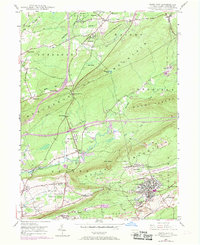
1948 Map of Freeland
USGS Topo · Published 1969About this map
Freeland sits at the heart of this post-war landscape, where the concentrated street grid of the borough contrasts sharply with the intensive extractive industry surrounding it. The map documents a transition in coal country, showing extensive strip mine operations and mine dumps encroaching upon older settlements like Upper Lehigh and Drifton. To the north, the terrain rises into the ridge of Nescopeck Mountain, cut by the Nescopeck Pass and various utility corridors like the pipeline that traverses the high ground.
Find a feature on this map
70 named features on this map. Tap any name to fly to it.
Don’t see what you’re looking for? This feature index may not catch every label — zoom into the map to look around manually.
Map Details
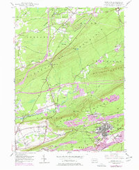
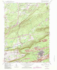
Editions of this 1948 Freeland Map
Other maps of this area

1889 · Hazleton
USGS Topo · 1:62,500

1891 · Wilkesbarre
USGS Topo · 1:62,500

1891 · Hazleton
USGS Topo · 1:62,500

1892 · Mahanoy
USGS Topo · 1:62,500

1893 · Hazleton
USGS Topo · 1:62,500

1893 · Mahanoy
USGS Topo · 1:62,500

1894 · Shickshinny
USGS Topo · 1:62,500

1894 · Wilkesbarre
USGS Topo · 1:62,500

1943 · Scranton
USGS Topo · 1:125,000

1944 · Newark
USGS Topo · 1:250,000