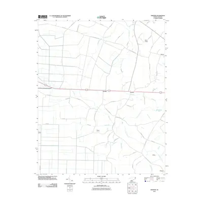
2011 Map of Freeman
USGS Topo · Published 2011About this map
Byrdville and Freeman anchor this region of the coastal plain in Bladen County, where the landscape is defined by a dense network of watercourses and agricultural drainage. Significant water features like Livingston Creek, Weyman Creek, and the Strauss Canal illustrate the engineering required to manage this low-lying terrain. The map reveals a pattern of dispersed settlements connected by roads with deep local roots, such as Old Lake Wilmington Rd and Livingston Chapel Rd. Genealogists will find several family-linked landmarks and burial grounds, including Mount Pleasant Cemetery, Malpass Cemetery, and Lennon Cemetery. The presence of the Bolton Airport in the southwest and the small community of Prosper in the southeast further delineate the modern footprint of this rural North Carolina corridor as it stood in the early 21st century.
Find a feature on this map
50 named features on this map. Tap any name to fly to it.
Don’t see what you’re looking for? This feature index may not catch every label — zoom into the map to look around manually.
Map Details
Editions of this 2011 Freeman Map
This is the sole edition of this map. No revisions or reprints were ever made.
Other maps of this area

1942 · Juniper Creek
USGS Topo · 1:24,000

1943 · Honey Island
USGS Topo · 1:24,000

1943 · Lewis Swamp
USGS Topo · 1:24,000

1944 · Lewis Swamp
USGS Topo · 1:31,680

1953 · Florence
USGS Topo · 1:250,000

1954 · Florence
USGS Topo · 1:250,000

1954 · Acme
USGS Topo · 1:62,500

1954 · Bolton
USGS Topo · 1:62,500
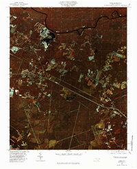
1980 · Acme
USGS Topo · 1:24,000
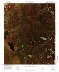
1980 · Lewis Swamp
USGS Topo · 1:24,000