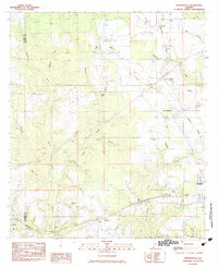
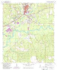
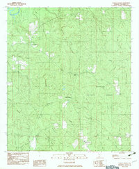
1983 Map of Freemanville
USGS Topo · Published 1983This historical map portrays the area of Freemanville in 1983, primarily covering Escambia County as well as portions of Baldwin County. Featuring a scale of 1:24000, this map provides a highly detailed snapshot of the terrain, roads, buildings, counties, and historical landmarks in the Freemanville region at the time. Published in 1983, it is the sole known edition of this map.
Find a feature on this map
36 named features on this map. Tap any name to fly to it.
Don’t see what you’re looking for? This feature index may not catch every label — zoom into the map to look around manually.
Map Details
Editions of this 1983 Freemanville Map
This is the sole edition of this map. No revisions or reprints were ever made.
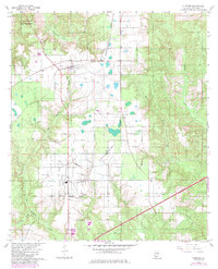
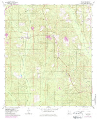
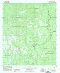
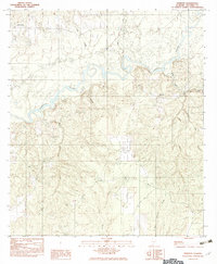
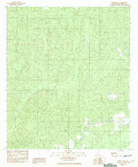
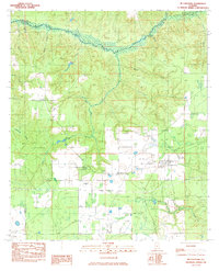
Historical Maps of Mount Gillis Through Time
14 maps found

1921 Fort Barrancas
Escambia County, AL

1921 Muscogee
Escambia County, AL
1959 Brewton South
Escambia County, AL
1960 Barnett Crossroads
Escambia County, AL
1960 Brewton North
Escambia County, AL
1960 Brewton South
Escambia County, AL
1960 Huxford
Escambia County, AL
1960 Wallace
Escambia County, AL
1982 Damascus
Escambia County, AL
1982 Parker Springs
Escambia County, AL
1982 Roberts
Escambia County, AL
1982 Shipps Creek
Escambia County, AL
1983 Freemanville
Escambia County, AL
1983 McCullough
Escambia County, AL