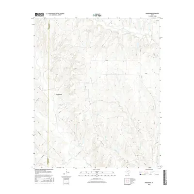
2016 Map of Freemound
USGS Topo · Published 2016About this map
Freemound sits at the heart of this North Texas landscape, where the boundary between Montague Co and Cooke Co carves a straight line through complex drainages. The topography is defined by the headwaters and tributaries of the Elm Fork Trinity River, which flows through the northeastern corner. A dense network of local creeks and branches, including Clear Cr, Wheat Cr, and Willawalla Cr, suggests a terrain heavily partitioned by seasonal water flow and livestock ranching.
Find a feature on this map
31 named features on this map. Tap any name to fly to it.
Don’t see what you’re looking for? This feature index may not catch every label — zoom into the map to look around manually.
Map Details
Editions of this 2016 Freemound Map
This is the sole edition of this map. No revisions or reprints were ever made.
Other maps of this area

1902 · Gainesville
USGS Topo · 1:125,000

1905 · Montague
USGS Topo · 1:125,000

1943 · Gainesville
USGS Topo · 1:125,000

1954 · Sherman
USGS Topo · 1:250,000

1958 · Sherman
USGS Topo · 1:250,000

1961 · Muenster West
USGS Topo · 1:24,000

1961 · Saint Jo
USGS Topo · 1:24,000

1961 · Freemound
USGS Topo · 1:24,000

1961 · New Harp
USGS Topo · 1:24,000

1961 · Era
USGS Topo · 1:24,000