Loading...
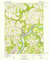
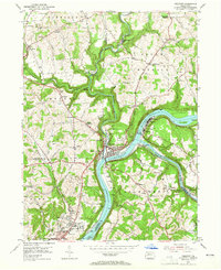
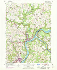
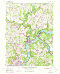
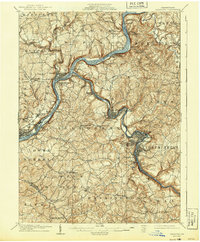
Loading map...1953 Map of Freeport
USGS Topo · Published 1955About this map
The Allegheny River and Kiskiminetas River converge at the heart of this industrial and transportation hub, where the Pennsylvania railroad lines track closely along the water's edge. This 1950s survey captures the region's dense network of river-town settlements and rail junctions, most notably at Kiskiminetas Junction and Butler Junction. The landscape is a mix of river-level industry, including Brick Kilns near Schenley and Sand Pit operations, and the upland agricultural and residential expansion of Natrona Heights.
Find a feature on this map
65 named features on this map. Tap any name to fly to it.
Don’t see what you’re looking for? This feature index may not catch every label — zoom into the map to look around manually.
Map Details
Date Portrayed1953
Date Published1955
PublisherU.S. Geological Survey
Map TypeTopographic
Scale1:24,000
Physical Dimensions22 x 27 inches
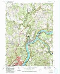
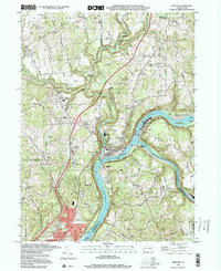
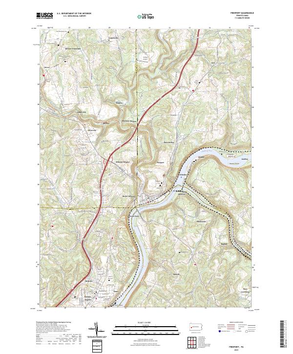
Editions of this 1953 Freeport Map
4 editions found
Historical Maps of Harrison Township Through Time
6 maps found

Featured Locations
- Harrison Township, PA
- Freeport, PA
- South Buffalo Township, PA
- Buffalo Township, PA
- Winfield Township, PA
Source Details
SourceU.S. Geological Survey
CopyrightPublic Domain