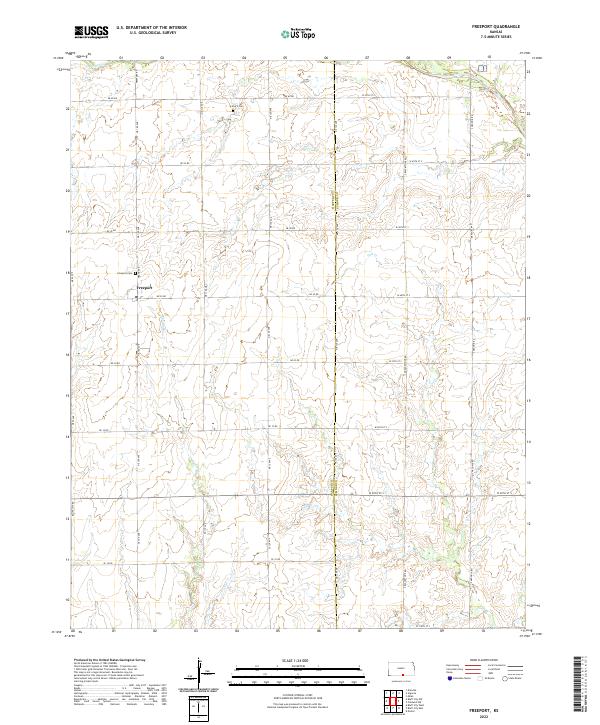
2022 Map of Freeport
USGS Topo · Published 2022About this map
Freeport sits at the intersection of Grand Ave and Ne 30 RD, serving as the central hub of this agricultural landscape along the Harper Co and Sumner Co line. The terrain is defined by the gentle drainage patterns of Sand Creek in the northwest and Fall Creek in the east, which create subtle relief across the sectioned farmland. Local history is anchored by the Freeport Cem just west of town and the H and S Cem situated further north along NE 110 Ave. The map reflects a meticulously gridded road system, where routes like Freeport Rd and Bluff City Rd connect isolated farmsteads and agricultural plots. The inclusion of numerous tributary streams like Spring Br highlights the importance of natural drainage for the region's productivity.
Find a feature on this map
39 named features on this map. Tap any name to fly to it.
Don’t see what you’re looking for? This feature index may not catch every label — zoom into the map to look around manually.
Map Details
Editions of this 2022 Freeport Map
This is the sole edition of this map. No revisions or reprints were ever made.
Historical Maps of Harper County Through Time
18 maps found
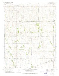
1971 Bluff City East
Harper County, KS
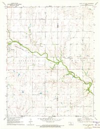
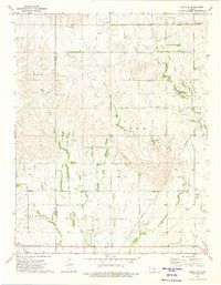
1971 Bluff City NW
Harper County, KS
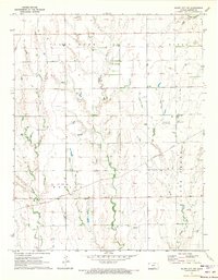
1971 Bluff City West
Harper County, KS
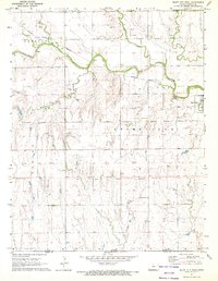
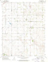
1971 Freeport
Harper County, KS
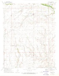
1972 Corwin
Harper County, KS
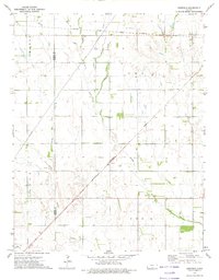
1972 Crisfield
Harper County, KS
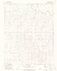
1972 Spring
Harper County, KS
1973 Crystal Springs
Harper County, KS
1973 Zenda SE
Harper County, KS
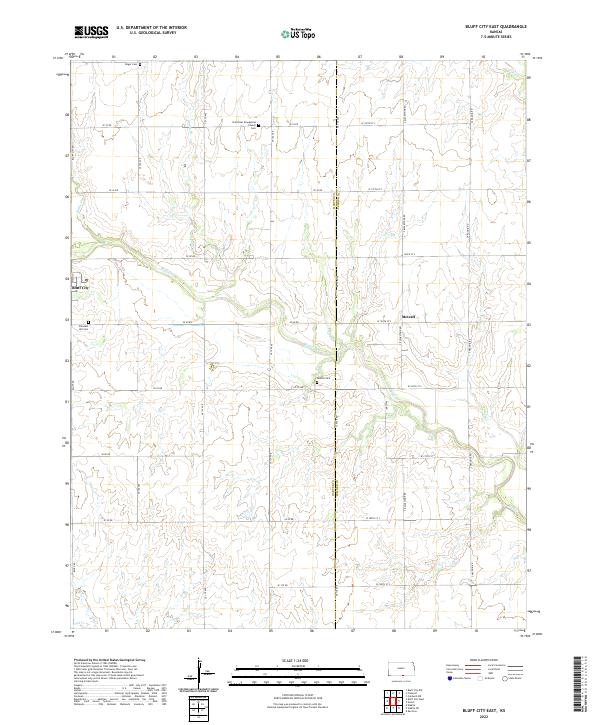
2022 Bluff City East
Harper County, KS
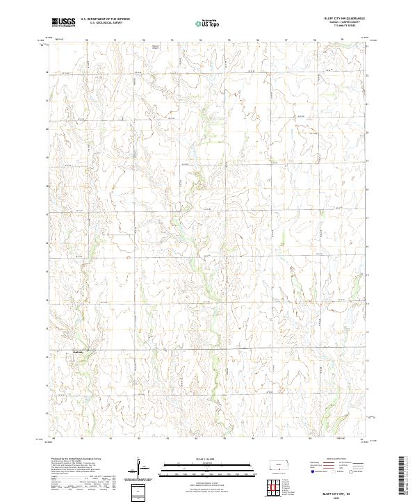
2022 Bluff City NW
Harper County, KS
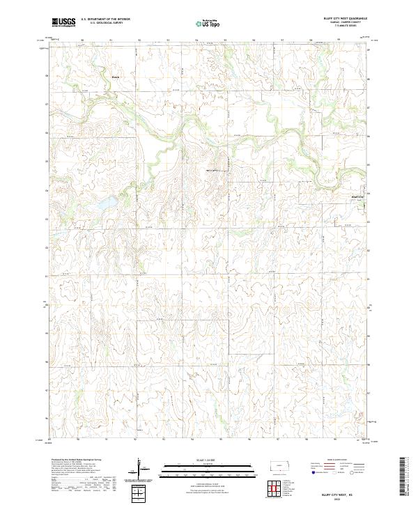
2022 Bluff City West
Harper County, KS
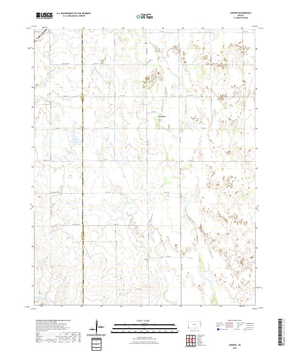
2022 Corwin
Harper County, KS
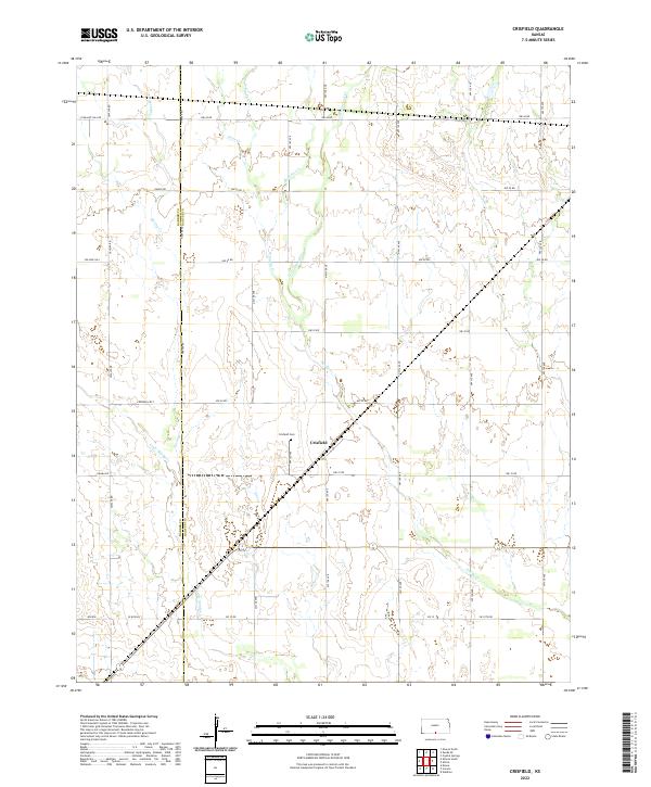
2022 Crisfield
Harper County, KS
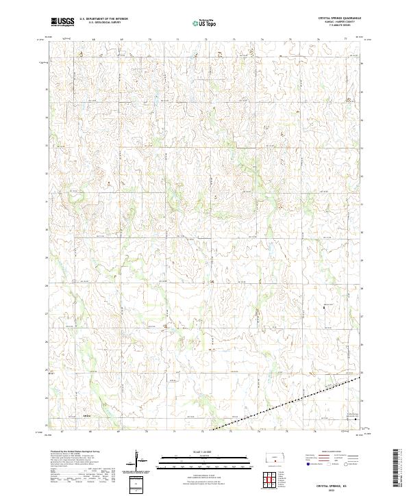
2022 Crystal Springs
Harper County, KS
2022 Freeport
Harper County, KS
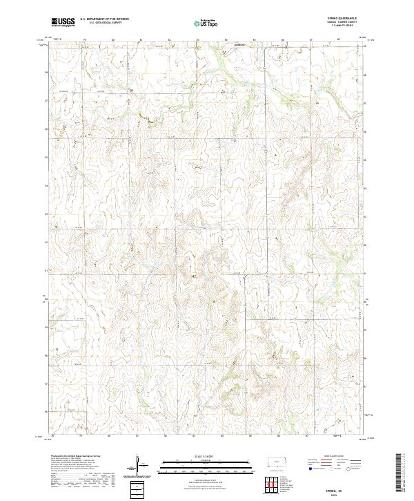
2022 Spring
Harper County, KS
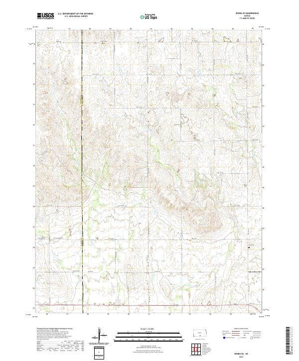
2022 Zenda SE
Harper County, KS