Loading...
Loading map...2023 Map of Freeport
USGS Topo · Published 2023About this map
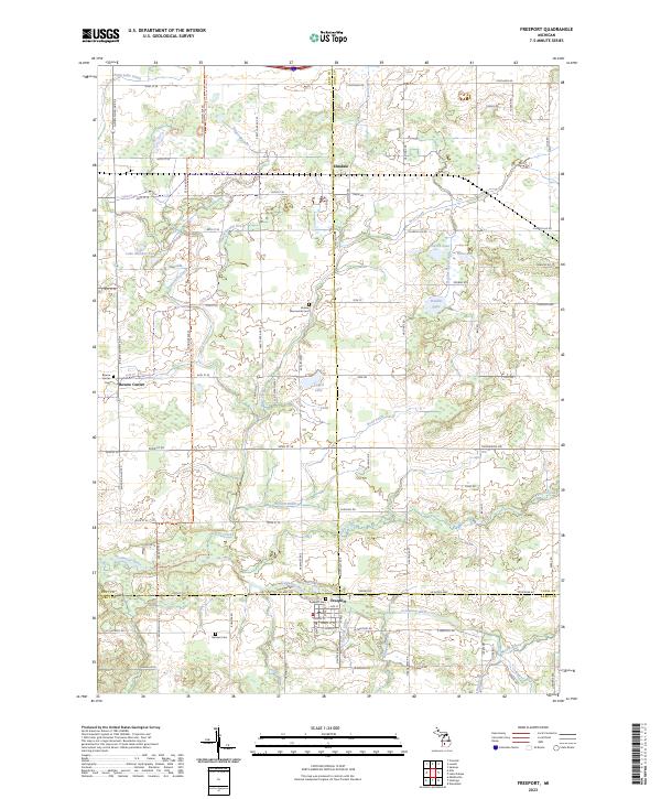
Freeport serves as the primary hub of this landscape where the boundaries of Kent, Ionia, and Barry counties converge. The Coldwater River winds through the southern portion of the map, fed by a network of drainage systems including Stocking Drain and Bullhead Drain. This modern topographical study highlights the persistent rural layout of the region, where family cemeteries such as the German Cem and Bowne Mennonite Cem reflect generations of settlement across the townships.
Find a feature on this map
74 named features on this map. Tap any name to fly to it.
Don’t see what you’re looking for? This feature index may not catch every label — zoom into the map to look around manually.
Map Details
Date Portrayed2023
Date Published2023
PublisherU.S. Geological Survey
Map TypeTopographic
Scale1:24000
Physical Dimensions24 x 29 inches
Editions of this 2023 Freeport Map
This is the sole edition of this map. No revisions or reprints were ever made.
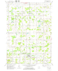
Historical Maps of Elmdale Through Time
Featured Locations
- Lowell Charter Township, MI
- Bowne Township, MI
- Campbell Township, MI
- Irving Township, MI
- Freeport, Irving Township
Source Details
SourceU.S. Geological Survey
CopyrightPublic Domain