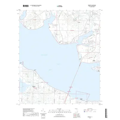
2018 Map of Freeport
USGS Topo · Published 2018About this map
Freeport serves as a central hub on the northern shores of Choctawhatchee Bay, where the winding waters of Lafayette Creek and Fourmile Creek meet the bay. This coastal landscape is defined by its intricate network of inlets and points, including Alaqua Bayou and LaGrange Bayou. To the south, the barrier peninsula hosts Santa Rosa Beach and Choctaw Beach, separated from the mainland by the Intracoastal Waterway. The map provides a detailed view of the regional transition from the open waters of the Gulf of Mexico to the sheltered marshes of Hogtown Bayou and Churchill Bayou. Along the coastline, specific points of interest like Wheeler Point and Fluffy Landing suggest a history of maritime access and small-scale settlement. The interior is marked by local landmarks such as the Basin Bayou Camp Site, illustrating the area's recreational and coastal character.
Find a feature on this map
109 named features on this map. Tap any name to fly to it.
Don’t see what you’re looking for? This feature index may not catch every label — zoom into the map to look around manually.
Map Details
Editions of this 2018 Freeport Map
This is the sole edition of this map. No revisions or reprints were ever made.
Other maps of this area
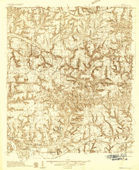
1934 · Niceville
USGS Topo · 1:48,000
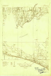
1935 · Villa Tasso
USGS Topo · 1:48,000
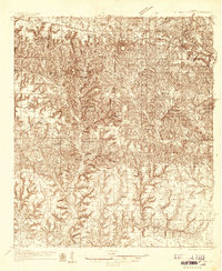
1935 · De Funiak Springs
USGS Topo · 1:48,000
1936 · Niceville
USGS Topo · 1:62,500
1936 · Point Washington
USGS Topo · 1:48,000
1938 · Villa Tasso
USGS Topo · 1:62,500
1938 · De Funiak Springs
USGS Topo · 1:62,500
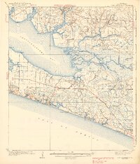
1939 · Point Washington
USGS Topo · 1:62,500
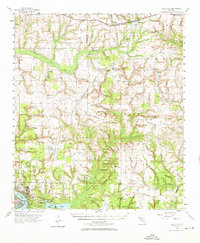
1956 · Niceville
USGS Topo · 1:62,500
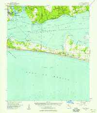
1956 · Villa Tasso
USGS Topo · 1:62,500