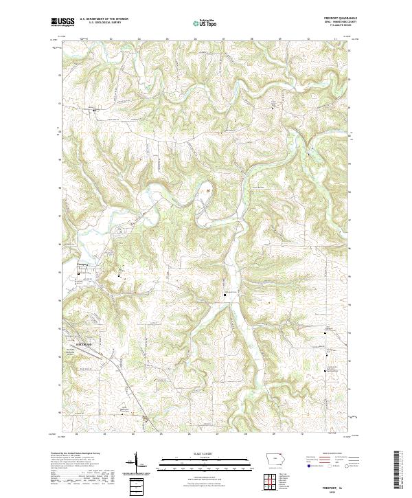
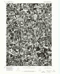
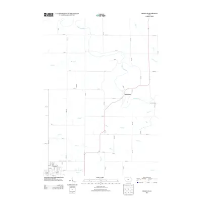
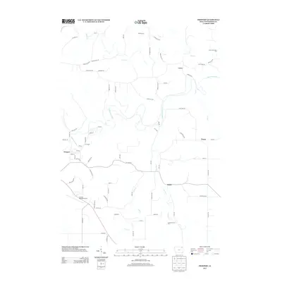
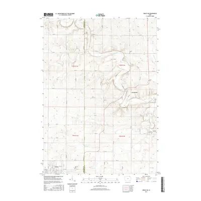
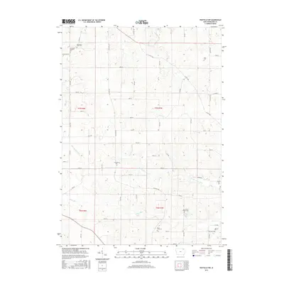
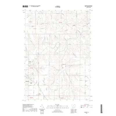
2022 Map of Freeport
USGS Topo · Published 2022About this map
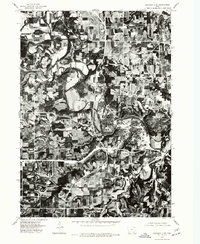
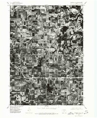
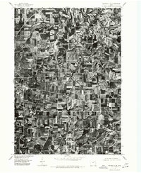
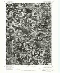
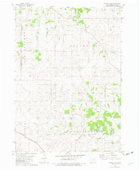
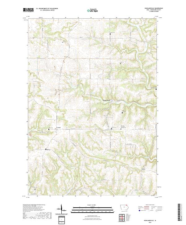
The Upper Iowa River winds through the heart of this landscape, carving a valley that separates the northern uplands from the outskirts of Decorah in the southwest. This area of Winneshiek County is defined by its deep agricultural and religious roots, evidenced by the high density of rural burial grounds such as Canoe Ridge Cem, the Scandinavian Methodist Episcopal Cem, and the North Washington Prairie Cem. The settlement of Freeport serves as a central hub along the riverbanks, with the Decorah Municipal Airport marking the southern reach of the survey area.
Find a feature on this map
62 named features on this map. Tap any name to fly to it.
Don’t see what you’re looking for? This feature index may not catch every label — zoom into the map to look around manually.
Map Details
Editions of this 2022 Freeport Map
This is the sole edition of this map. No revisions or reprints were ever made.
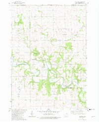
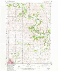
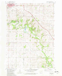
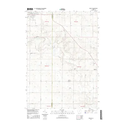
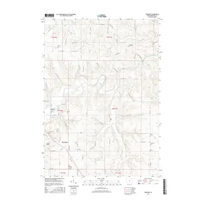
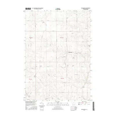
Historical Maps of Decorah Through Time
45 maps found
1975 Decorah 1 NW
Winneshiek County, IA

1975 Decorah 1 SW
Winneshiek County, IA
1975 Decorah 2 NE
Winneshiek County, IA
1975 Decorah 2 NW
Winneshiek County, IA
1975 Decorah 2 SE
Winneshiek County, IA
1975 Decorah 2 SW
Winneshiek County, IA
1975 Decorah 3 NE
Winneshiek County, IA
1975 Decorah 3 NW
Winneshiek County, IA
1975 Decorah 4 NW
Winneshiek County, IA
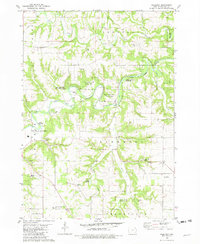
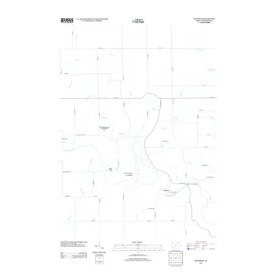
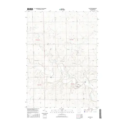
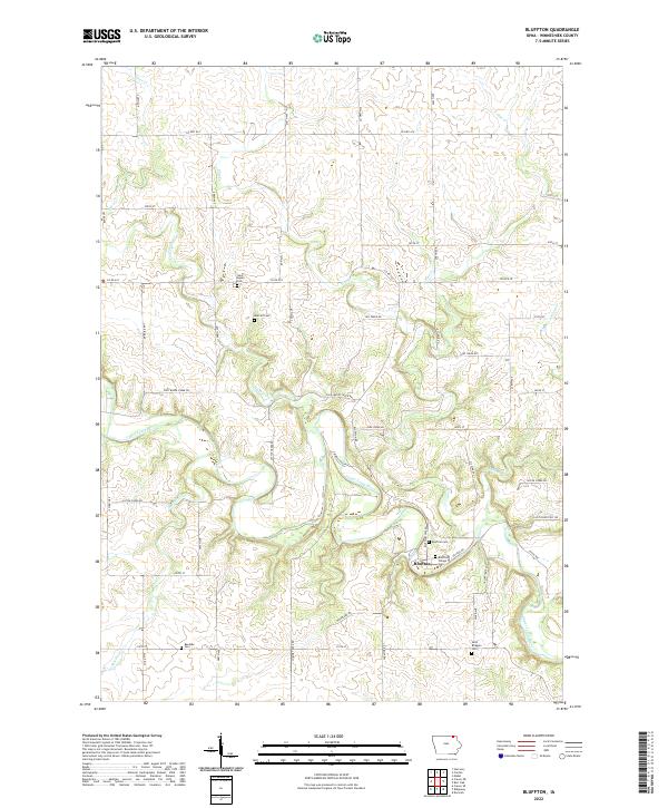
1981 Bluffton
Winneshiek County, IA
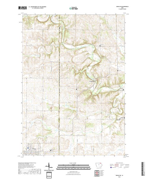
1981 Cresco NE
Winneshiek County, IA
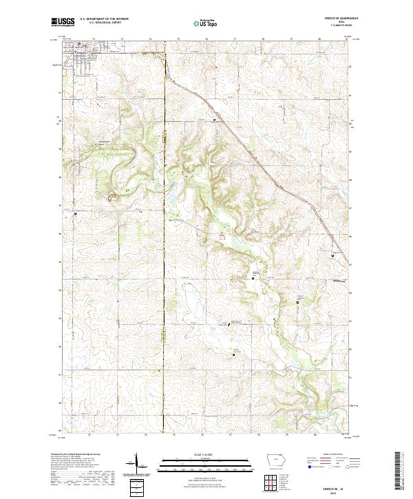
1981 Cresco SE
Winneshiek County, IA
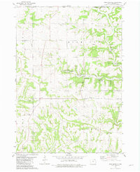
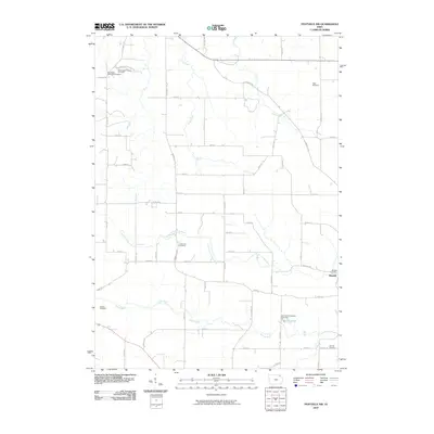
1981 Freeport
Winneshiek County, IA
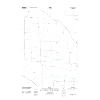
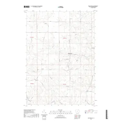
1981 Highlandville
Winneshiek County, IA
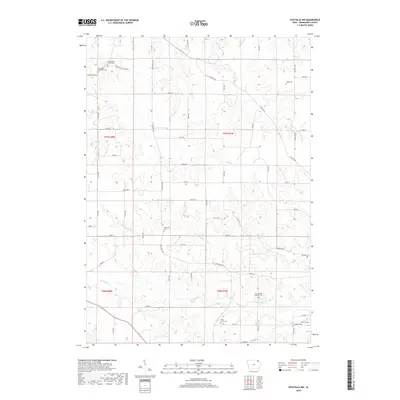
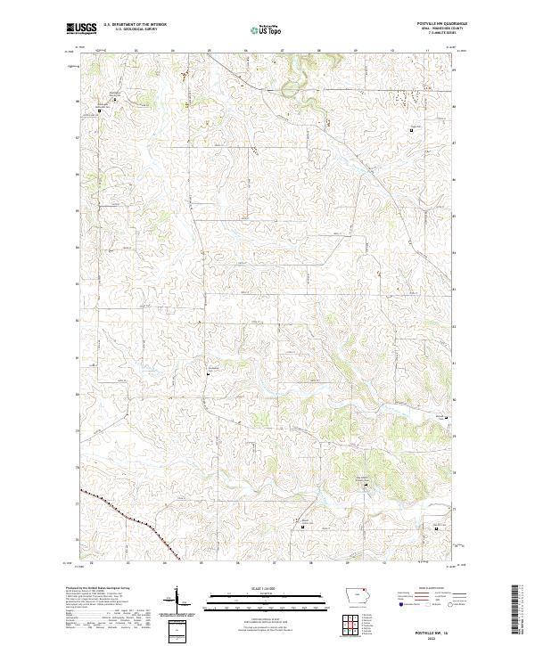
1981 Postville NW
Winneshiek County, IA
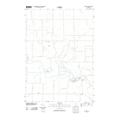
2010 Bluffton
Winneshiek County, IA
2010 Cresco NE
Winneshiek County, IA
2010 Cresco SE
Winneshiek County, IA
2010 Freeport
Winneshiek County, IA
2010 Highlandville
Winneshiek County, IA
2010 Postville NW
Winneshiek County, IA
2013 Bluffton
Winneshiek County, IA
2013 Cresco NE
Winneshiek County, IA
2013 Cresco SE
Winneshiek County, IA
2013 Freeport
Winneshiek County, IA
2013 Highlandville
Winneshiek County, IA
2013 Postville NW
Winneshiek County, IA
2015 Bluffton
Winneshiek County, IA
2015 Cresco NE
Winneshiek County, IA
2015 Cresco SE
Winneshiek County, IA
2015 Freeport
Winneshiek County, IA
2015 Highlandville
Winneshiek County, IA
2015 Postville NW
Winneshiek County, IA
2018 Bluffton
Winneshiek County, IA
2018 Cresco NE
Winneshiek County, IA
2018 Cresco SE
Winneshiek County, IA
2018 Freeport
Winneshiek County, IA
2018 Highlandville
Winneshiek County, IA
2018 Postville NW
Winneshiek County, IA
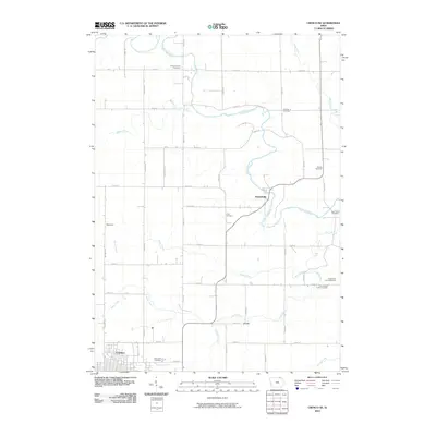
2022 Bluffton
Winneshiek County, IA
2022 Cresco NE
Winneshiek County, IA
2022 Cresco SE
Winneshiek County, IA
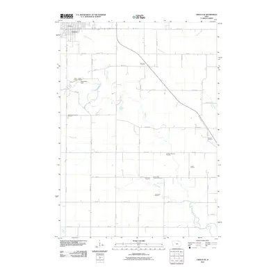
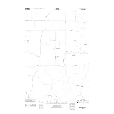
2022 Freeport
Winneshiek County, IA
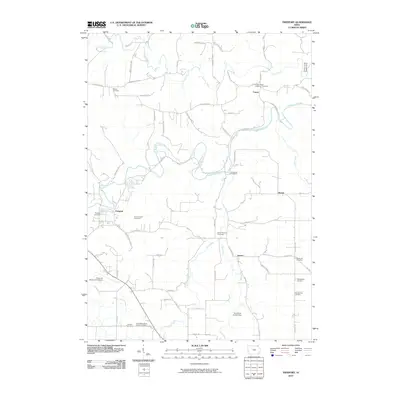
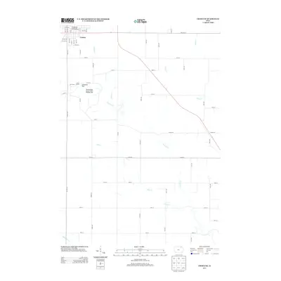
2022 Highlandville
Winneshiek County, IA
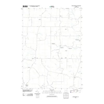
2022 Postville NW
Winneshiek County, IA