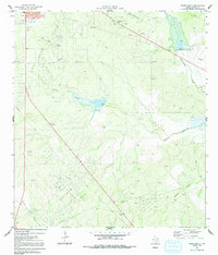
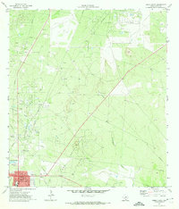
1971 Map of Freer South
USGS Topo · Published 1991About this map
The Loma Novia Field and Hoffman Field dominate this corner of Duval County, where the landscape is etched by a dense network of oil wells, pipelines, and access roads. At the northwestern edge, the community of Freer is captured during a period of established growth, featuring its High Sch, an Athletic Field, and a local Trailer Park. The surrounding terrain transitions from the concentrated infrastructure of the oil fields to the drainage basins of Tarancahuas Creek and Rosita Creek, where the land is more sparsely settled.
Find a feature on this map
18 named features on this map. Tap any name to fly to it.
Don’t see what you’re looking for? This feature index may not catch every label — zoom into the map to look around manually.
Map Details
Editions of this 1971 Freer South Map
2 editions found
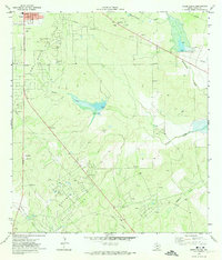
Other maps of this area

1956 · Benavides
USGS Topo · 1:62,500

1956 · Rosita Ranch
USGS Topo · 1:62,500

1956 · Freer
USGS Topo · 1:62,500

1956 · Laredo
USGS Topo · 1:250,000

1968 · Benavides NW
USGS Topo · 1:24,000

1968 · Parrilla Creek NW
USGS Topo · 1:24,000

1968 · Parrilla Creek NE
USGS Topo · 1:24,000
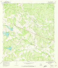
1968 · Rosita
USGS Topo · 1:24,000
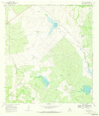
1969 · Rosita NW
USGS Topo · 1:24,000
1971 · Freer North
USGS Topo · 1:24,000