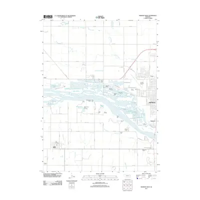
2011 Map of Fremont West
USGS Topo · Published 2011About this map
The Platte River corridor dominates this 2011 survey, showing a landscape defined by braided water channels and specialized land use. East of Ames, the river valley is a complex network of recreational and industrial sites, including the Fremont Cutoff Ditch and several sand and gravel excavations such as the North Pit. These operations have left a legacy of water-filled basins that now serve as community hubs, including Meadow Lake, Fremont Lake, and Leisure Lake.
Find a feature on this map
70 named features on this map. Tap any name to fly to it.
Don’t see what you’re looking for? This feature index may not catch every label — zoom into the map to look around manually.
Map Details
Editions of this 2011 Fremont West Map
This is the sole edition of this map. No revisions or reprints were ever made.
Other maps of this area

1893 · Fremont
USGS Topo · 1:125,000

1896 · Fremont
USGS Topo · 1:125,000

1899 · Wahoo
USGS Topo · 1:125,000

1955 · Fremont
USGS Topo · 1:250,000

1957 · Fremont
USGS Topo · 1:250,000

1958 · Fremont
USGS Topo · 1:250,000

1966 · Scribner SW
USGS Topo · 1:24,000

1966 · Nickerson
USGS Topo · 1:24,000

1966 · Hooper
USGS Topo · 1:24,000

1968 · Leshara
USGS Topo · 1:24,000