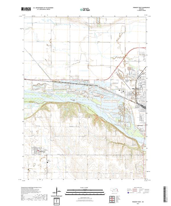
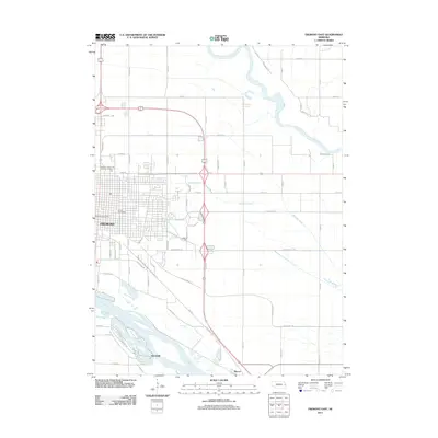
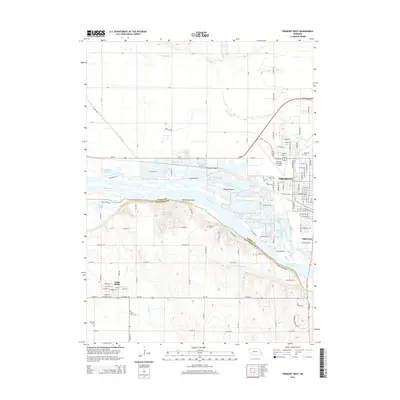
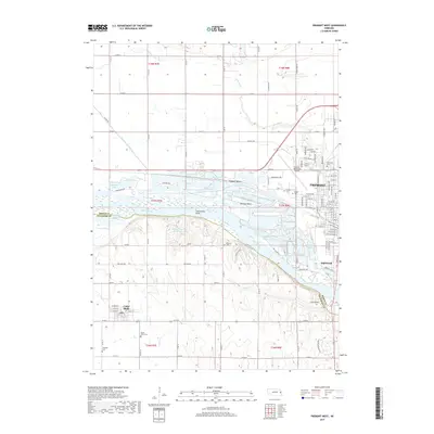
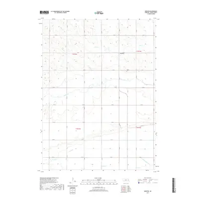
2021 Map of Fremont West
USGS Topo · Published 2021About this map
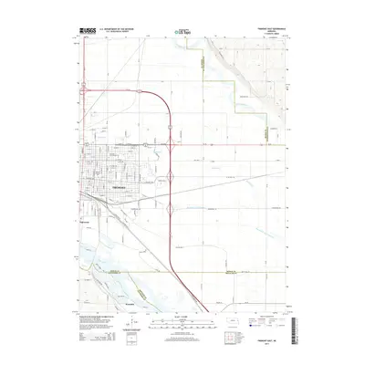
The Platte River meanders across this landscape, defining the boundary between Dodge County and Saunders County. Along its northern banks, the city of Fremont transitions from urban grid to riverside leisure communities like Fremont Beach and Midland Beach. The river's braided character is evident through features like Big Island and Fishermans Point, while the surrounding plains are punctuated by water bodies including Beaver Lake and Meadow Lake.
Find a feature on this map
117 named features on this map. Tap any name to fly to it.
Don’t see what you’re looking for? This feature index may not catch every label — zoom into the map to look around manually.
Map Details
Editions of this 2021 Fremont West Map
This is the sole edition of this map. No revisions or reprints were ever made.
Historical Maps of Fremont Through Time
25 maps found
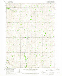
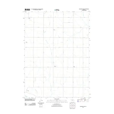
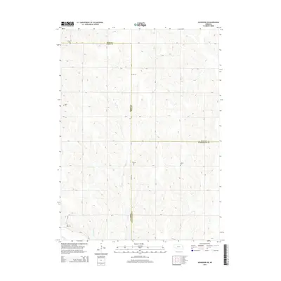
1966 Nickerson NW
Dodge County, NE
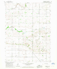
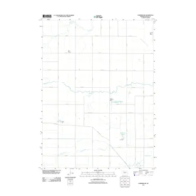
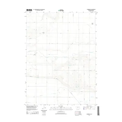
1966 Scribner SW
Dodge County, NE
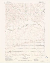
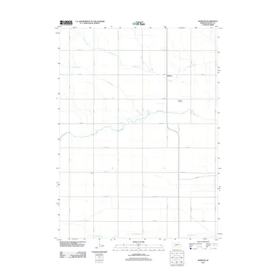
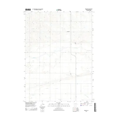
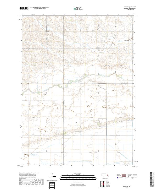
1966 Webster
Dodge County, NE
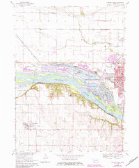
1968 Fremont East
Dodge County, NE
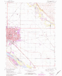
1968 Fremont West
Dodge County, NE
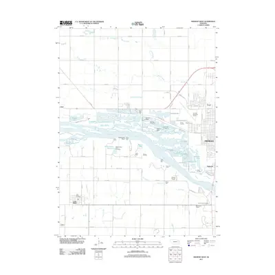
2011 Fremont East
Dodge County, NE
2011 Fremont West
Dodge County, NE
2011 Nickerson NW
Dodge County, NE
2011 Scribner SW
Dodge County, NE
2011 Webster
Dodge County, NE
2014 Fremont East
Dodge County, NE
2014 Fremont West
Dodge County, NE
2014 Nickerson NW
Dodge County, NE
2014 Scribner SW
Dodge County, NE
2014 Webster
Dodge County, NE
2017 Fremont East
Dodge County, NE
2017 Fremont West
Dodge County, NE
2017 Nickerson NW
Dodge County, NE
2017 Scribner SW
Dodge County, NE
2017 Webster
Dodge County, NE
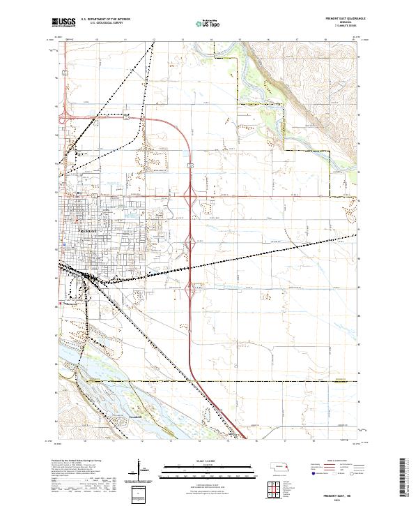
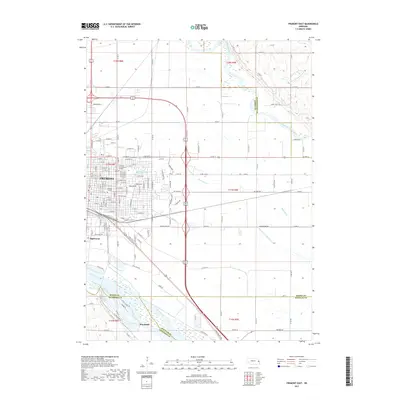
2021 Fremont East
Dodge County, NE
2021 Fremont West
Dodge County, NE
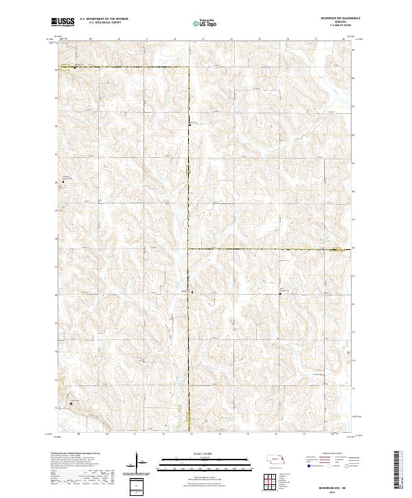
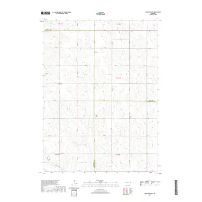
2021 Nickerson NW
Dodge County, NE
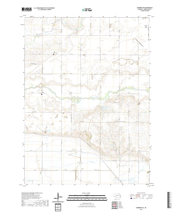
2021 Scribner SW
Dodge County, NE
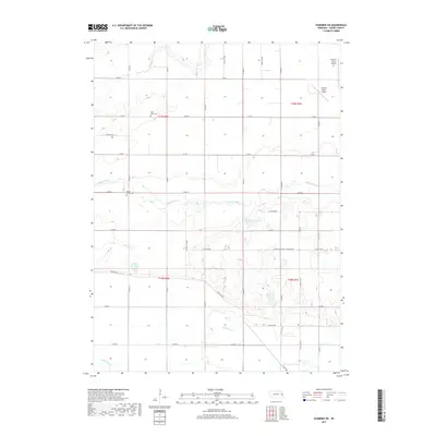
2021 Webster
Dodge County, NE