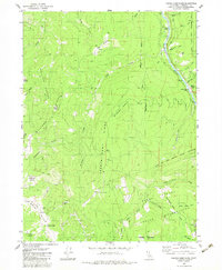
1983 Map of French Camp Ridge
USGS Topo · Published 1983About this map
The Hoopa Valley Indian Reservation boundary defines the eastern portion of this 1983 survey, documenting a landscape of steep ridges and high-elevation openings in Humboldt County. The Klamath River carves through the northeast corner, featuring notable navigation points like Kanick Rapids and the historical Martins Ferry (Site). This area is characterized by a series of high-altitude clearings or "prairies," such as Wiregrass Prairie and Big Prairie, which provided essential open ground for early settlers and ranchers in an otherwise densely forested environment.
Find a feature on this map
48 named features on this map. Tap any name to fly to it.
Don’t see what you’re looking for? This feature index may not catch every label — zoom into the map to look around manually.
Map Details
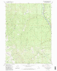
Editions of this 1983 French Camp Ridge Map
2 editions found
Other maps of this area

1925 · Hoopa
USGS Topo · 1:125,000

1945 · Coyote Peak
USGS Topo · 1:62,500

1945 · Tectah Creek
USGS Topo · 1:62,500

1948 · Weed
USGS Topo · 1:250,000

1950 · Weed
USGS Topo · 1:250,000

1952 · Coyote Peak
USGS Topo · 1:62,500

1952 · Hoopa
USGS Topo · 1:62,500

1952 · Orleans
USGS Topo · 1:62,500

1952 · Tectah Creek
USGS Topo · 1:62,500

1958 · Weed
USGS Topo · 1:250,000