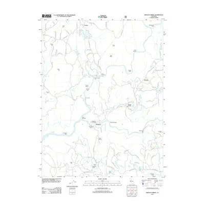
2012 Map of French Corral
USGS Topo · Published 2012About this map
The Bridgeport Covered Bridge spans the S Yuba River at a critical point where the landscape transitions from high ridges like Kentucky Ridge to deep river canyons. This area of Nevada County preserves a rugged settlement pattern defined by 19th-century mining and ranching hubs, including the community of French Corral and the nearby Birchville. The geography is deeply marked by water management and power generation, evidenced by the Colgate Powerhouse and Colgate Tunnel, which harness the convergence of the Middle Yuba River, N Yuba River, and Yuba River. Local history is visible in the network of ranch properties such as Schwartz Ranch and Richards Ranch, while river crossings at Rice Crossing and Bridgeport indicate the historic routes through this gold-bearing region.
Find a feature on this map
91 named features on this map. Tap any name to fly to it.
Don’t see what you’re looking for? This feature index may not catch every label — zoom into the map to look around manually.
Map Details
Editions of this 2012 French Corral Map
This is the sole edition of this map. No revisions or reprints were ever made.
Other maps of this area

1888 · Smartsville
USGS Topo · 1:125,000

1891 · Smartsville
USGS Topo · 1:125,000

1892 · Smartsville
USGS Topo · 1:125,000

1894 · Smartsville
USGS Topo · 1:125,000

1895 · Smartsville
USGS Topo · 1:125,000

1941 · Bangor
USGS Topo · 1:62,500

1944 · Bangor
USGS Topo · 1:62,500

1948 · Nevada City
USGS Topo · 1:62,500
1948 · Oregon House
USGS Topo · 1:24,000
1948 · Camptonville
USGS Topo · 1:24,000