Loading...
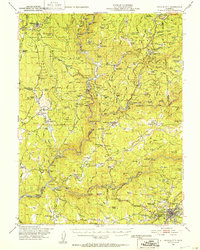
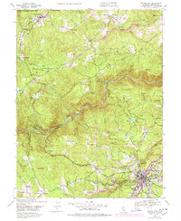
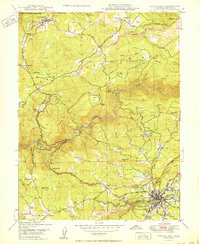
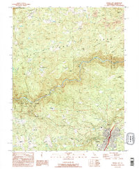
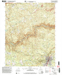
Loading map...1948 Map of Nevada City
USGS Topo · Published 1953About this map
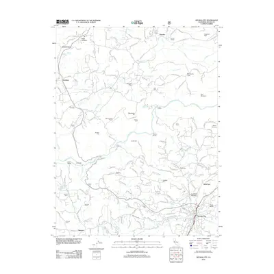
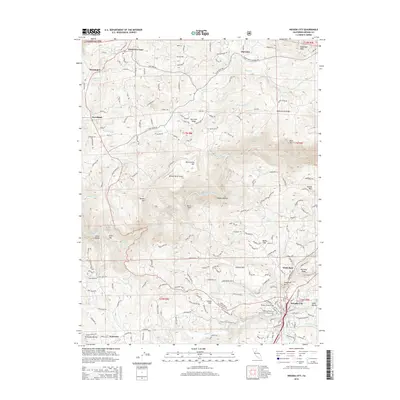
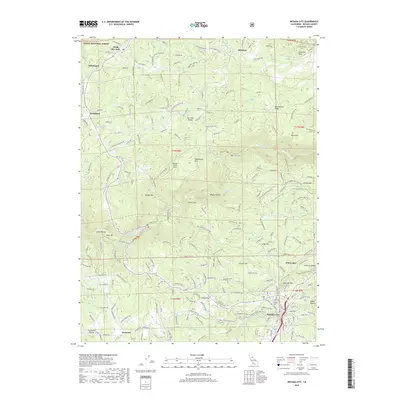
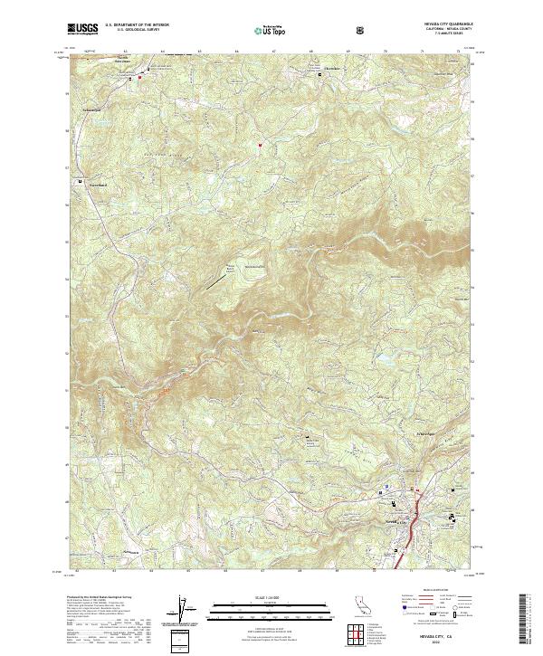
Nevada City and the deep canyons of the Yuba River system define this post-war landscape of gold-country California. The map documents the complex water and power infrastructure of the late 1940s, featuring the Colgate Powerhouse and Colgate Tunnel alongside the Bullards Bar Reservoir and Englebright Reservoir. These modern industrial features contrast with a dense network of family-named ranches and historic mining sites like the Mother Lode Mine and Red Cross Mine.
Find a feature on this map
151 named features on this map. Tap any name to fly to it.
Don’t see what you’re looking for? This feature index may not catch every label — zoom into the map to look around manually.
Map Details
Date Portrayed1948
Date Published1953
PublisherU.S. Geological Survey
Map TypeTopographic
Scale1:62,500
Physical Dimensions16.6 x 20.7 inches
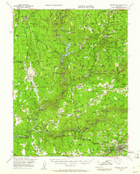
Editions of this 1948 Nevada City Map
4 editions found
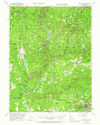
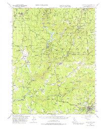
Historical Maps of Nevada City Through Time
9 maps found
Featured Locations
Source Details
SourceU.S. Geological Survey
CopyrightPublic Domain